Route Guide
The Middlewood Way runs along a former railway line that went from Macclesfield to Marple. With the help of the Cheshire East Council and Stockport Metropolitan Borough Council it has been redeveloped to provide an attractive, traffic-free greenway for walkers, horse riders and cyclists. Also, thanks to the efforts of the Save the Middlewood Way campaign, parts of the trail which were in poor condition have now been refurbished.
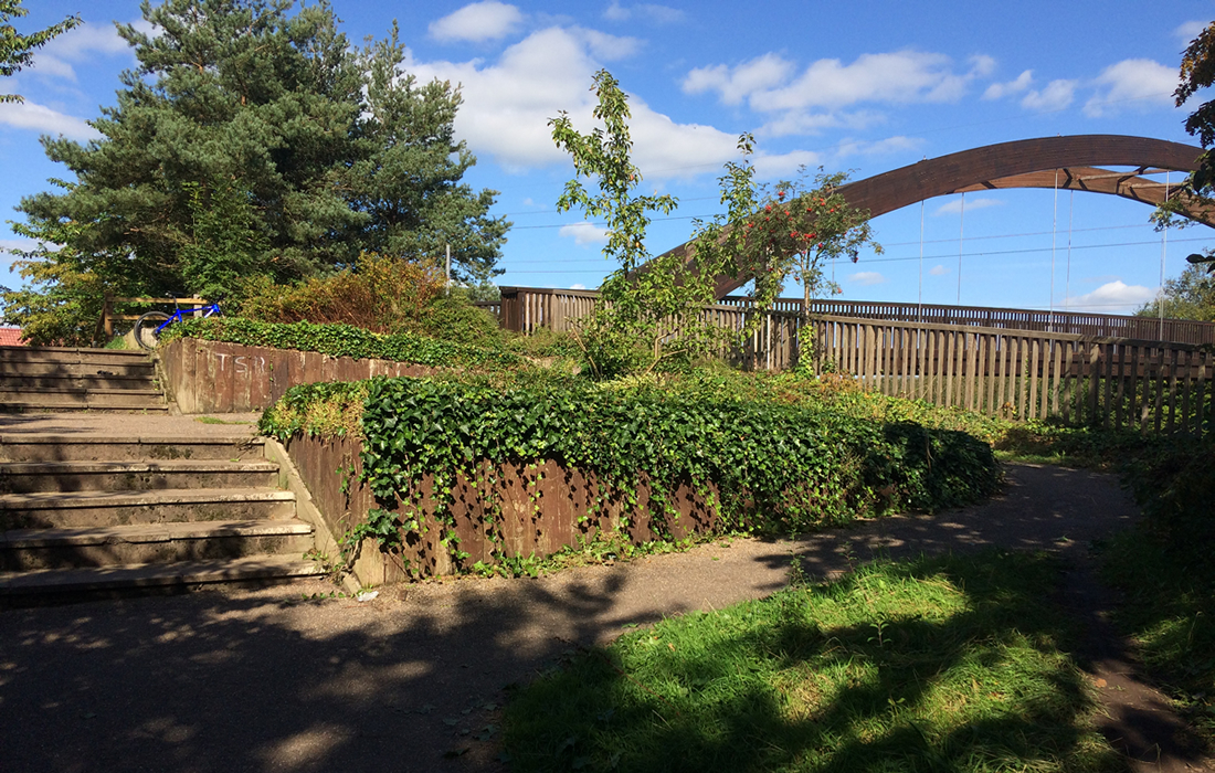
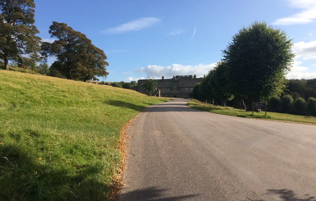
The start of this route is at the very beginning of the Middlewood Way, right next to a Tesco Superstore. There is free parking here for 3 hours and it is possible to complete the route in that time. However, if you’d like to take things at a more leisurely pace then you should consider parking further along the trail. There is free parking in Bollington and a Pay & Display Car Park at the Nelson Pit Visitor Centre, Higher Poynton.
If starting from the Tesco Car Park, follow the exit signs until you pass the Petrol Station on your right and join the Middlewood Way on your left. The start of the trail is quite smooth and well maintained with trees and hedgerows on either side. There is a slight uphill gradient for the first 2 miles or so.
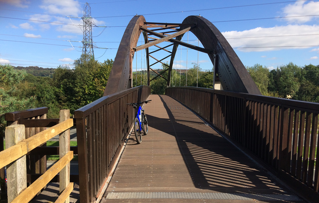
After about 1.7 miles the trail splits into a series of steps for walkers and an upwards, spiralling path for cyclists. This is quite a fun little section which adds a little more interest to the ride. You then go right and over a large wooden bridge which spans across a main road. On the other side is another longer spiralling path which you descend and rejoin the main trail.
At the 2.5 mile point you climb up through another series of spirals. The corners on this section are very tight, so you may need to dismount to get around them. The challenge here is to get to the top without putting a foot down!. After a short distance you will come across the Bollington Festival Labyrinth. This ‘interactive’ piece was commissioned during the Bollington Festival in 2009 and incorporates 78 standing stones from Endon Quarry.
After about ½ a mile the trail divides into 2 different ‘lanes’. With walkers on the left and horse riders/cyclists on the right. I thought this was a good idea, and during very busy periods helps to keep ‘traffic’ moving as smoothly and safely as possible. During the next ¼ of a mile, see if you can spot the wooden bird sculpture hidden in a tree.
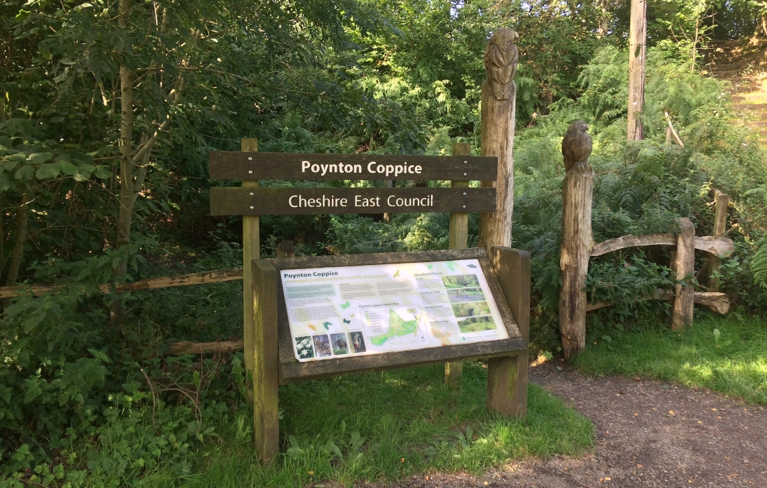
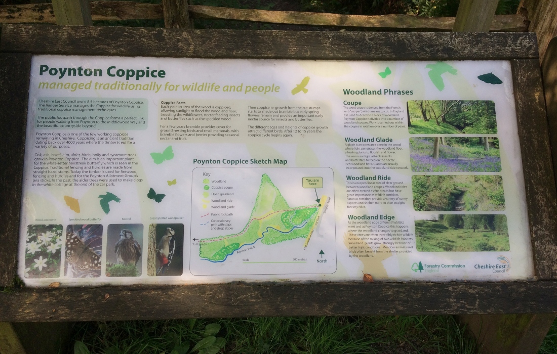
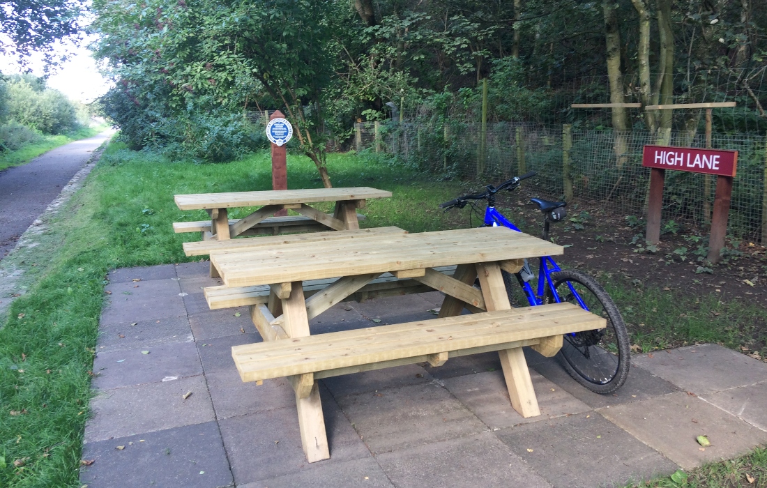
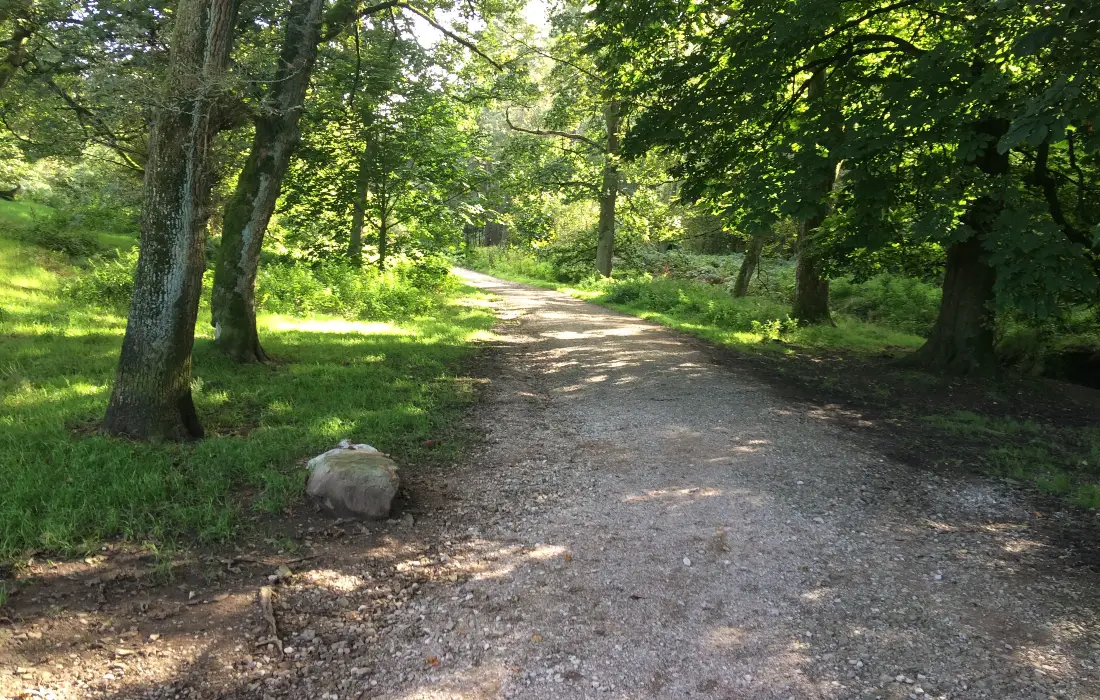
About a ¼ of a mile later you pass through Poynton Coppice Nature Reserve. This is designated as an ancient woodland and is abundant with wildlife. You may also appreciate the eagle sculptures next to the information board. Continue straight on here where you eventually reach High Lane on your right. This recently refurbished area has some new picnic benches and makes for a good pit-stop.
After approximately 2 miles you come to the end of the Middlewood Way. Now you can either turn around and go back the way you came or continue following this route guide. If you choose to continue, bear right onto Railway Road, then take a right at the junction onto a main road. Then through some traffic lights and go right on to Church Lane. From here it’s ½ a mile of climbing until you reach a bridge over a canal. Take the spiralling cobbled path on your left down to the Macclesfield Canal.
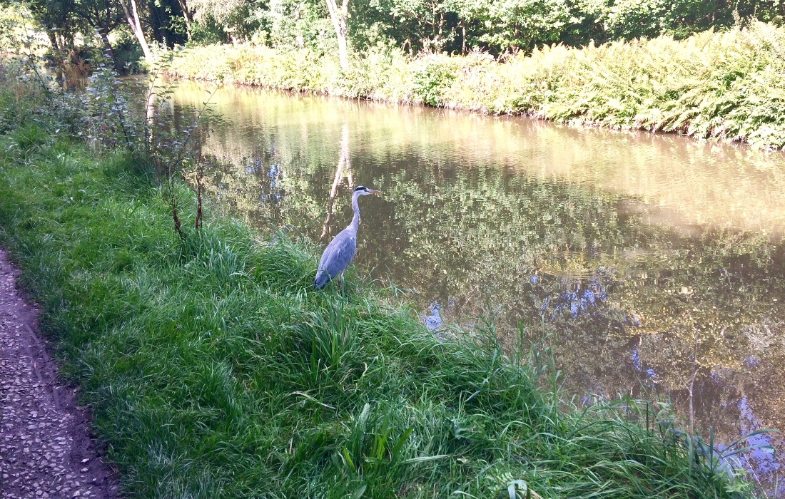
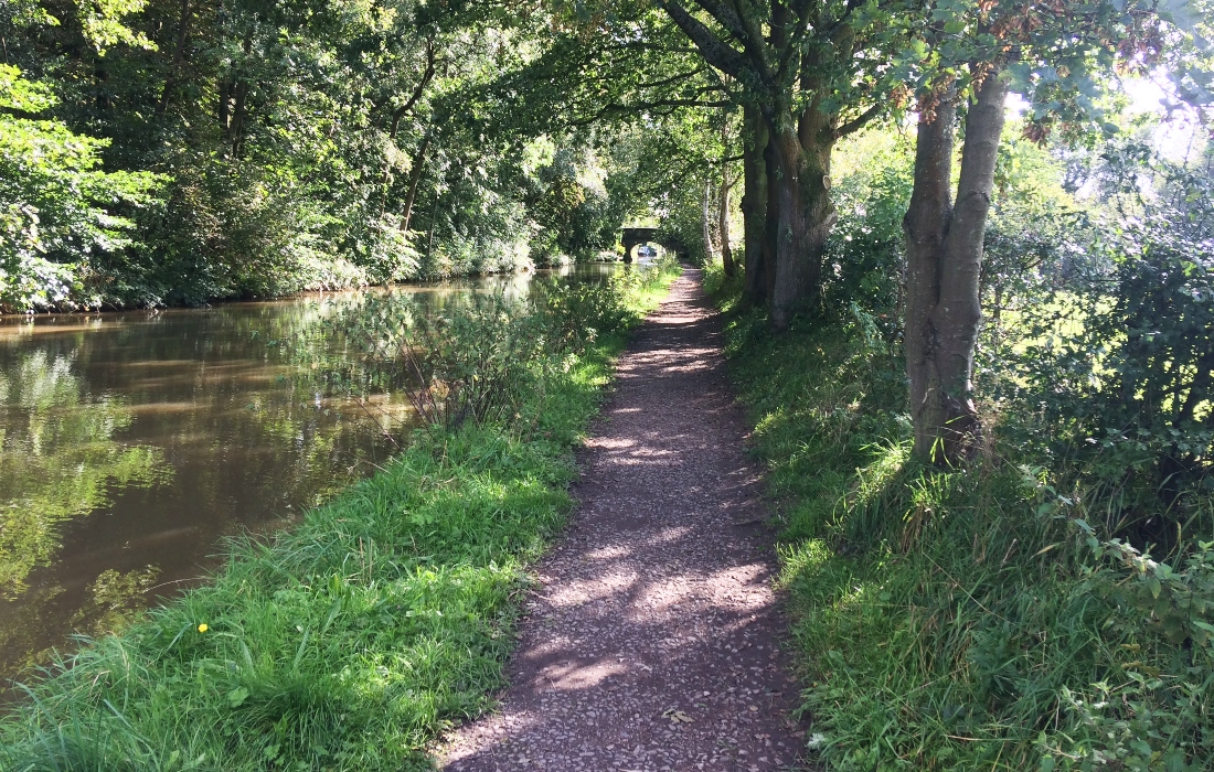
Most of the canal towpath is relatively smooth and wide enough to accommodate walkers and cyclists. However, there are some rougher sections and you may need to slow down for pedestrians when the path narrows. The views along the canal are very pleasant and generally appears clean and well maintained. It was also the first canal in the world to receive a Green Flag Award for providing a public green space of excellence.
You will pass under several charming bridges and may spot some wildlife on the water. It’s also worth noting this canal forms part of the Cheshire ring, a 97-mile circular route around Cheshire and parts of Staffordshire. This would make for a big day out cycling or a multi-day adventure.
Stay on the canal for approximately 1 ½ miles until you reach a road overhead. Leave the canal here and join Andrew Lane. Head left and after a short distance go left on to Meadway. Follow the road up a steep climb, then take a right on to Wybersley Road. At the end of the road go left then right on to Light Alders Lane. Go left here along the main road then cross over and on to the Lyme Park driveway.
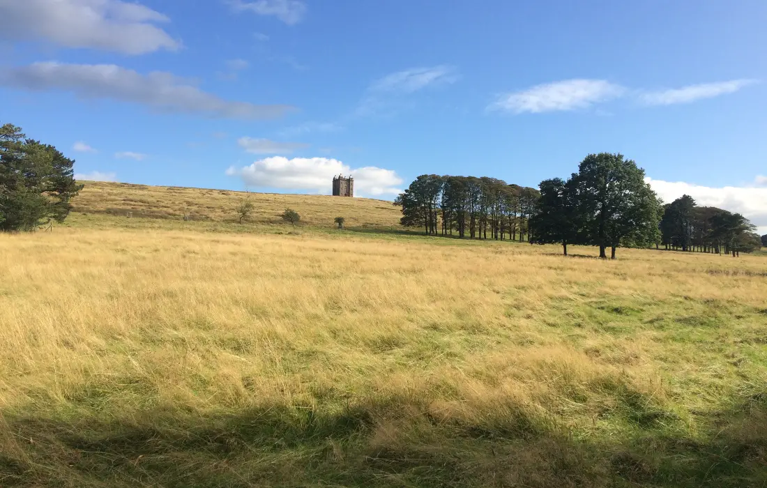
Lyme Park is a 1,400 acre National Trust estate which is home to a herd of red deer. The Lyme Hall mansion is the largest in Cheshire and classified as a Grade I listed building. Also prominently perched on a hill when approaching the main house is the Cage. This tower was originally used as a hunting lodge but later became the park keeper’s cottage.
They have recently opened up parts of the Gritstone Trail on the site for cycling. Unfortunately, at the moment access by bike is only allowed after 5pm and from April till September. However, in this guide, we’ll continue to follow the road through the park then bear right as you approach the main house. You should then pass a large car park and cafe on your left.
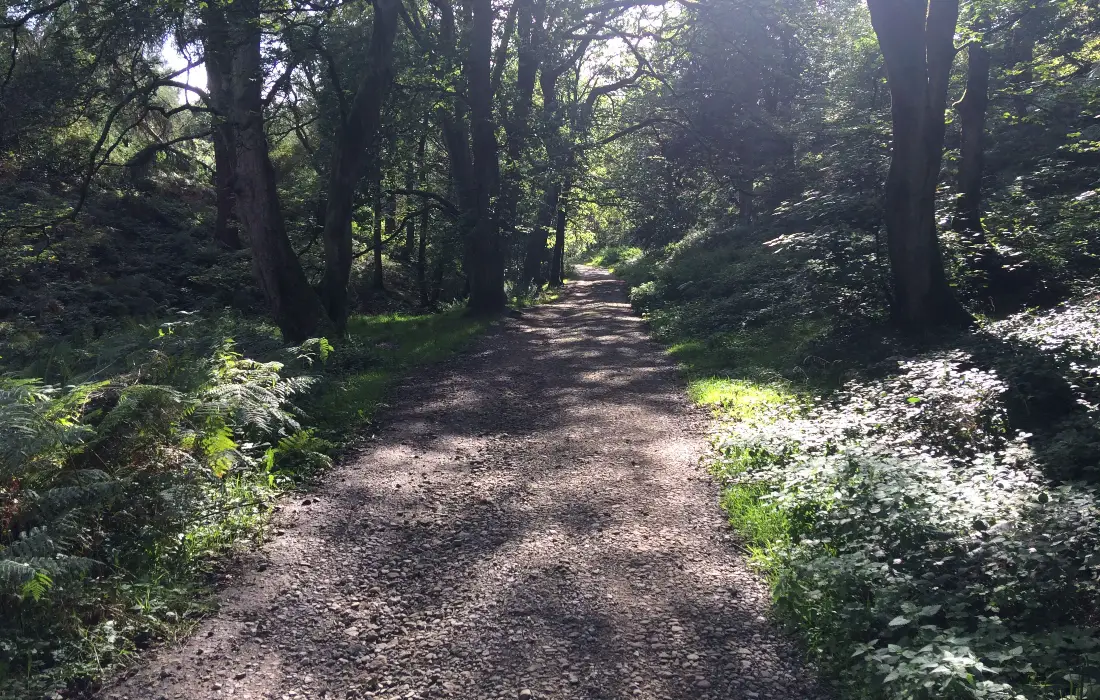
Follow the road up a short steep incline, then descend down to another small car park. At the end of the car park go through the gate and on to the woodland trail. For me this was the highlight of the ride, the trail takes you through a very pleasant, densely wooded area which ends with a fantastic, long rocky descent.
At the bottom of the descent go through the gate and then turn left on to a narrow lane. Follow the lane until it joins Shrigley Road, go left and continue on this road for about 1 ½ miles. Then take a right at a crossroads signposted towards Adlington. Stay on this road for about half ½ a mile until you come to a bridge. Go over the bridge, but then take the cobbled slope down to the canal on your immediate left.
On the towpath go left and follow it for about 3.7 miles. This stretch of the canal is equally as picturesque as the earlier section. It includes views of Clarence Mill on the other side of the canal, which is now used as the Bollington Discovery centre. At the 23 mile point you need to leave the canal via the sloped cobble path and cross over the bridge. Next bear left and then right through a narrow path between some houses.
Now turn left when you meet Delamere Drive, then after a short distance go right on to Raglan drive. When you reach a junction go right on to Hulley Road, then immediately left on to Greystoke Road. Take the first road on your left called Lathom Way, then right on to Brockenhurst Avenue. Then take the next left on to Carisbrook Avenue.
When you come to a junction go left, then immediately right on to Nicholson Avenue. Continue straight on for just under ½ a mile, then take a right on to Back Lane. Go left at the crossroads and after a few metres you should see the Tesco Car Park on your right.
Pros
- Lots of attractive scenery and some interesting features
- All of the route is rideable and mostly off-road
- Lot’s of parking and facilities available
- Excellent descent at Hase Bank Wood
Cons
- May not appeal to someone looking for a more technically challenging route
Other routes in the area
Goyt Valley, Peak District
Gradbach, Peak District