Route Guide
The route starts at the Roman Lakes Leisure Park just outside Marple where there is free parking. However, the road that leads up to the park is very rough and full of potholes so you may want to consider parking in the town centre instead.
To start the ride you take a left out of the park and onto the bridleway. This trail follows the River Goyt and is quite picturesque with the sound of flowing water creating a pleasant ambience.
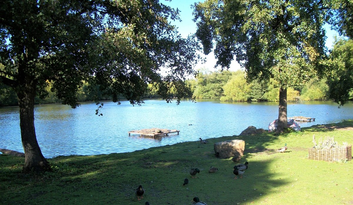
Follow this trail for about 1.4 miles before turning right onto station road. Continue on the road passing a pond on your right, then over a bridge until you reach a main road.
After about ½ mile keep an eye out for a bridleway on your right. Follow the bridleway around Disley Paper Mill until you reach a minor road. Take a left here and then a right onto Redhouse Lane.
Follow the road for a short distance until you reach a bridge over a canal. Leave the road and join the Peak Forest Canal. This canal has won the Green Flag Award which recognises and rewards well managed recreational outdoor spaces.
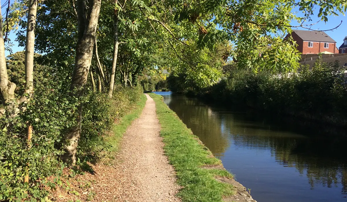
The towpath was smooth and relatively wide so you can cruise along at a nice pace enjoying some lovely views of the countryside. The route continues on the canal for the next 4 ½ miles which I found was a nice warm-up for the legs.
Eventually you leave the canal and take a left onto the Peak Forest Tramway Trail. This track is a mixture of tarmac and gravel linking the Buxworth Basin with the Limestone Quarries at Dove Holes Dale.
You stay on this trail for about a mile before taking a left at a junction onto a minor road. Follow the road up a short steep climb to another junction and then take a right. Stay on the road as it climbs up through Chinley.
You will continue climbing on Buxton Road for about another mile. Then take a left down a side road with a bridge over it signposted to Glossop. As you emerge from the other side of the bridge take an immediate right down a narrow rural lane.
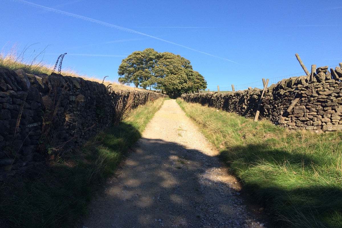
Follow this lane as it bends sharply around to the left and then to the right. This marks the start of a long but pleasant Category 4 climb. The lane is narrow but quiet and traffic-free.
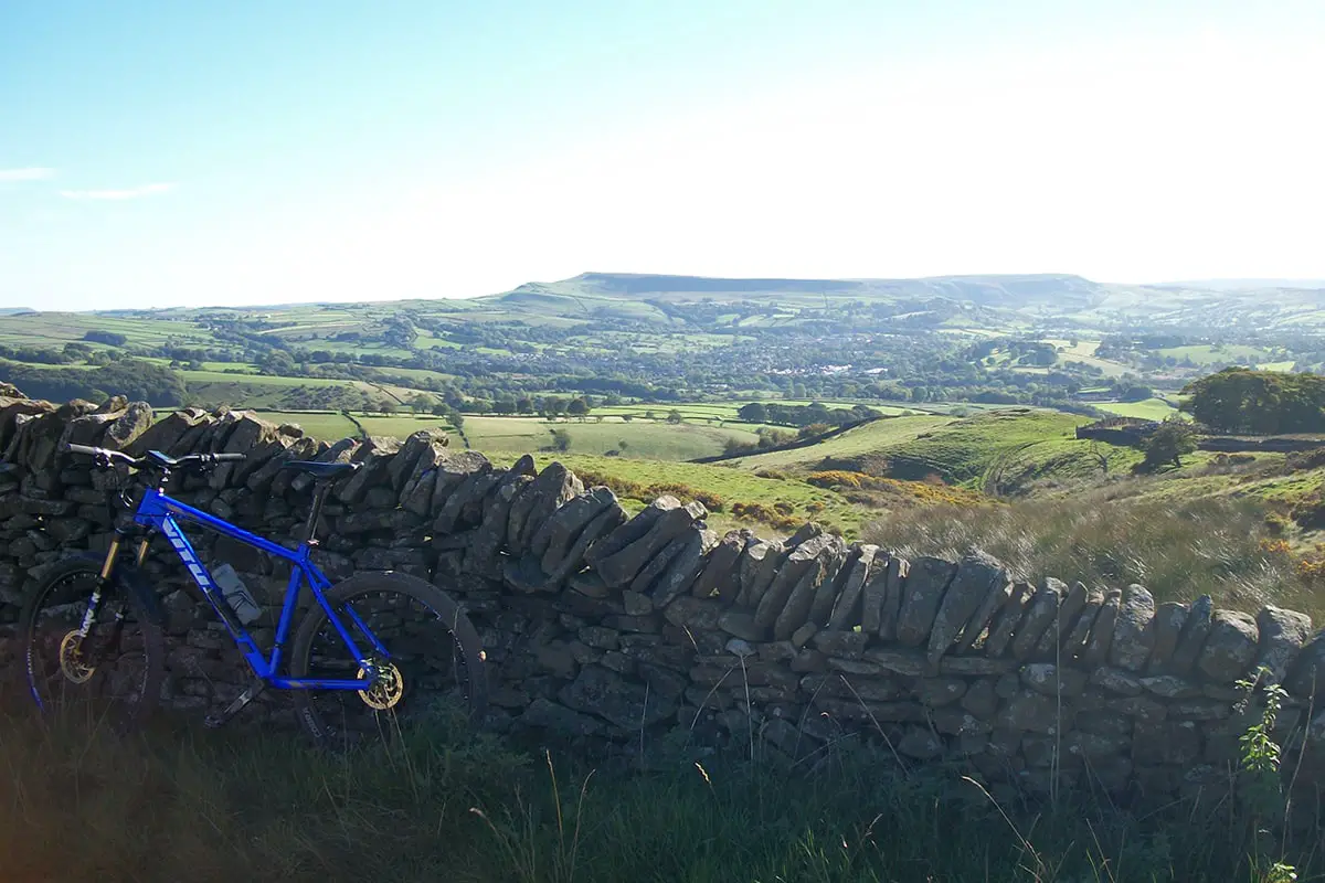
After about a mile of climbing the terrain changes to an off-road gravel climb and also becomes much steeper. At the top of the climb you are rewarded with fantastic views across the valley.
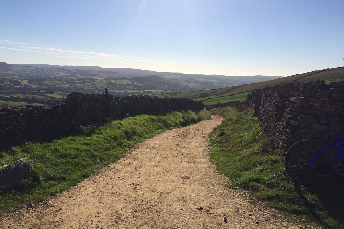

You then take a left and join the Pennine Bridleway and continue climbing. This section of the climb gets quite rocky and will be the first test of your bike handling skills.
After a few hundred yards you finally reach the top and the highest point of the ride. The big views continue here allowing you to see for miles into the distance. The trail begins to flatten out and you can begin to pickup the pace again.
There are also some short fast descents to enjoy before taking a right and up a short steep climb. Then there is an excellent long, fast technical descent down to a minor road.
Take a right and follow the road for about ¼ mile. Then, when you come to a right hairpin-bend take the bridleway on your left. This marks the start of the 2nd biggest climb of the route.
Unfortunately this trail is covered with what look like quite new tennis ball size rocks, which coupled with the rather steep gradient make it very difficult to get any rear wheel traction. So you may have to do a bit of hike-a-bike work to get up most of this climb.
After about ½ mile take the bridleway on your left. The trail continues to climb but the surface is now much easier to ride on. After another ½ mile go through a gate on the left onto another bridleway. Enjoy this excellent descent, first on a grassy trail and then becoming steeper and rockier towards the bottom.
You then cross over a minor road and continue to descend. Please take care here as it becomes steeper, looser and all the rainfall collects here creating a thin stream of water through the rocks making it quite slippery.
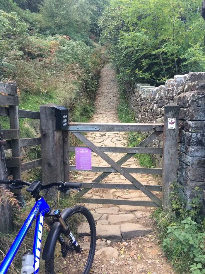
At the bottom take a right and go through a gate and up the cobbled path climb. This path is very steep so be prepared to have to get off and walk. At the top of the climb is a viewpoint with fantastic views across Kinder Reservoir and also makes a good place to catch your breath!.

Take a left at the viewpoint up another very steep, loose climb. Again you may have to do a bit of hike-a-bike to get up this section. At the top bear left following the trail across the moorland.
The gradient flattens out for a short while here but you still need to focus on taking the best line through the rocks. Eventually you come to a white cabin on your right, bear right taking the bridleway signposted to Glossop.
After crossing a bridge the trail then descends steeply down to a stream. Cross the stream and follow the trail around to the left and down to the main road. Take a right on the road and climb for about ½ mile before taking a left onto Monks Road.
After about ¾ mile take a left onto a narrow lane signposted towards Back Rowarth. Then take a left on to the Pennine Bridleway and enjoy a nice fast smooth descent. Follow the road until you come to a gated track on your right. Follow the trail until meets the narrow Goddard Lane.
Take a left and descend down Goddard Lane until you come to a junction. Then go right on to Hollinsmoor Road. Take a left at the next junction then immediate right at the Moorfield Arms pub. Stay on this road for the next 2 miles then take a left down Hollins Lane.
Continue to descend down Hollins Lane until you come to a junction. Go straight over on to Low Lea Road. Follow this road until it comes to Lakes Road, take a left here and follow the signs back to Roman Lakes Car Park.