Route Guide
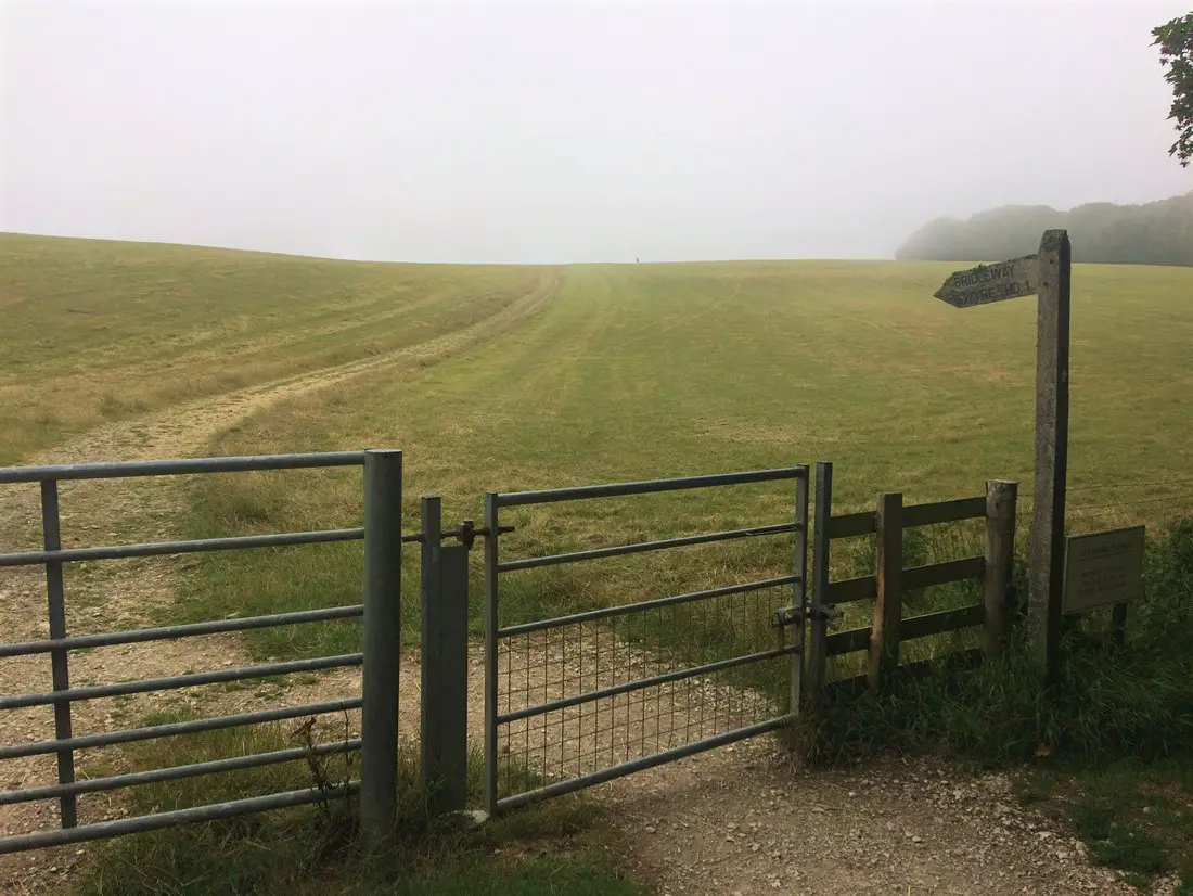
The route starts with free parking on Ulwell Road about 1½ mile from Swanage Town centre. However, you could also start the route in Swanage if it’s more convenient for you. Take a right, leaving the layby/car park and start to climb by road. After just over ½ mile leave the road and join the gated bridleway on your right.
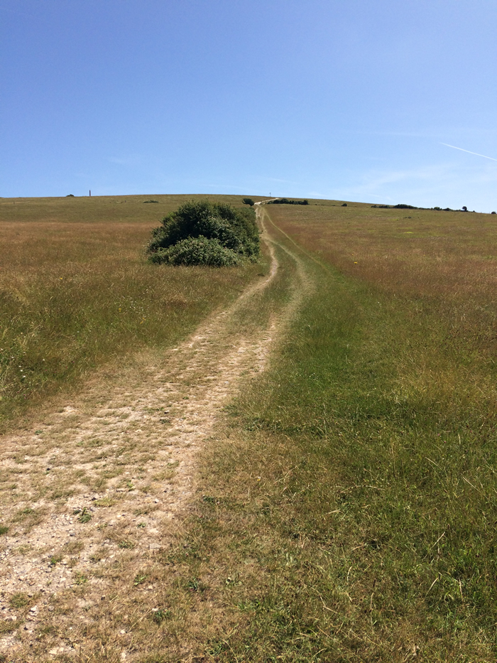
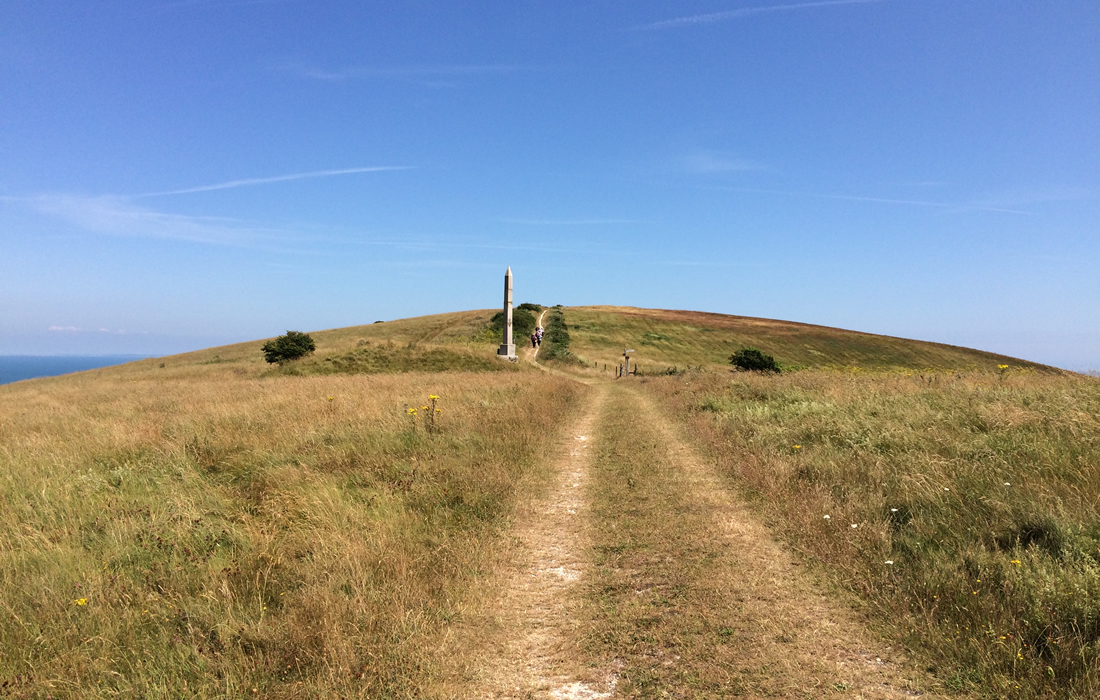
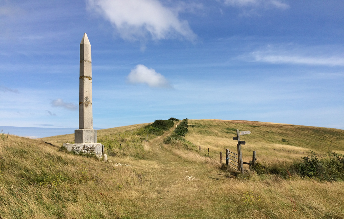
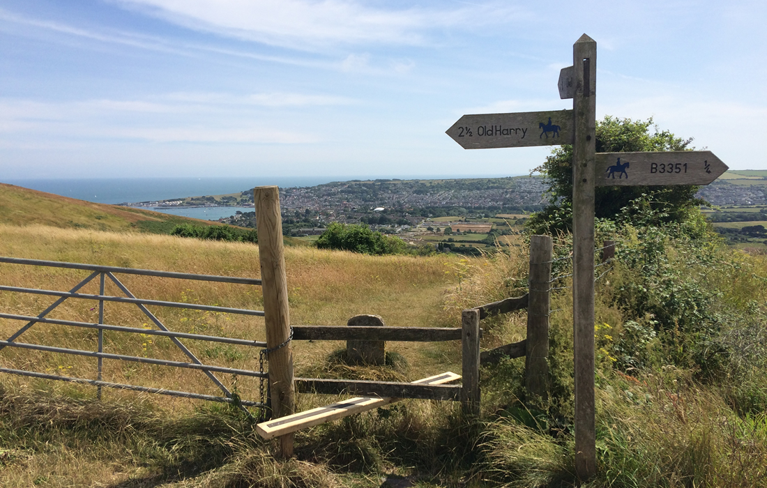
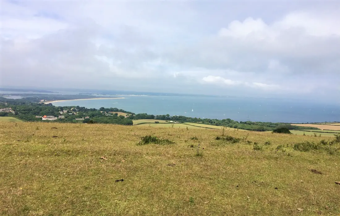
This is the first tough off-road climb of the day with the gradient reaching 20% in places. Well done if you reach the Obelisk without dismounting, you are now rewarded with stunning views of Swanage bay. The Obelisk commemorates the new supply of drinking water provided to Swanage in 1883.
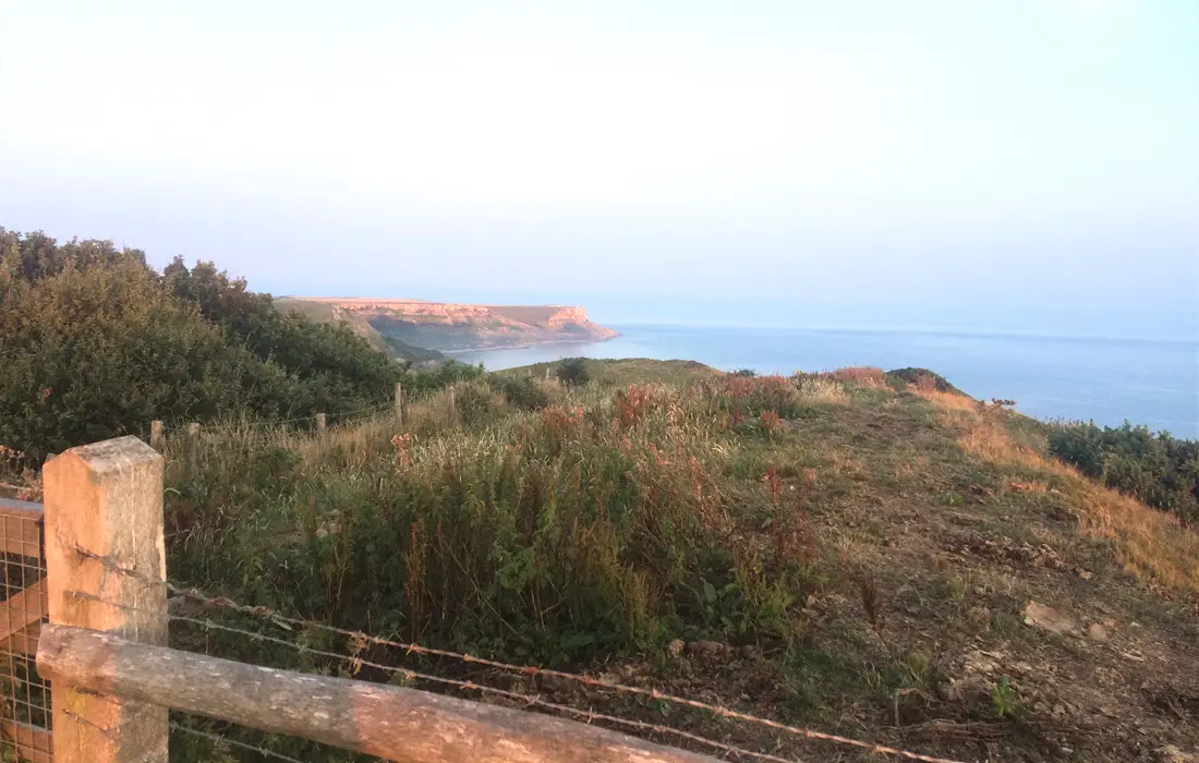
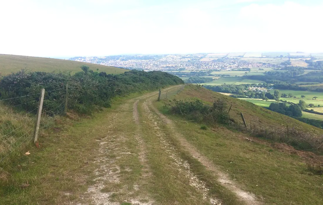
Continue climbing up on the bridleway until you reach the top. At 486ft this is the 3rd highest point of the ride and provides fantastic views of Swanage and the Dorset coastline. Follow the bridleway and enjoy the long grassy ridgetop descent towards the coast. After about 1 mile the trail forks into 2 separate bridleways. You can either take the rockier trail on the right or the slightly tamer, grassier track on the left.
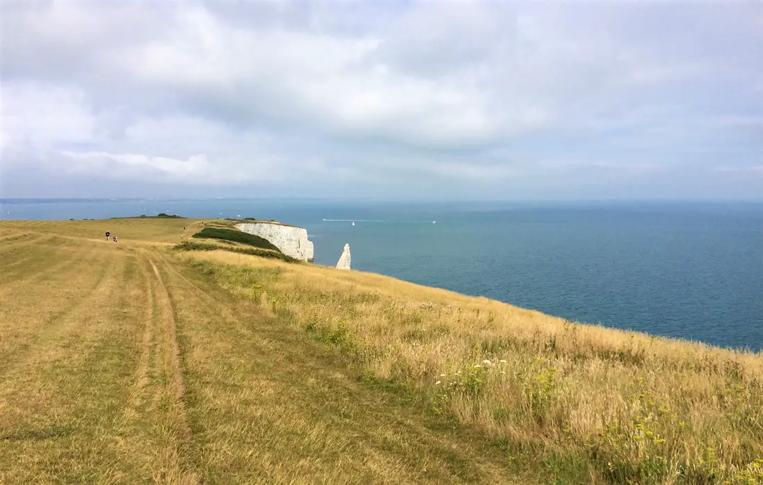
During busier times of the year when there are a lot of walkers, it may be best to take the quieter, left-hand trail. Before starting the descent you may want to appreciate the most iconic feature on the Isle of Purbeck – Old Harry Rocks. These chalk formations are one of the most famous landmarks on the South Coast of England. They form part of the Jurassic Coast World Heritage Site and are preserved by the National Trust.
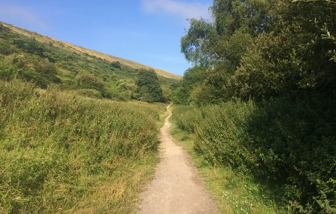
Take care on this descent as it gets quite gnarly in places with lots of hidden trenches and holes. When you reach the end of the track take a sharp left and follow the trail into a tree/hedge-lined section. As you emerge from the other side of the trees the trail opens up and becomes quite loose and gravelly.
After a short distance you enter a wooded section where the trail becomes quite narrow. Please reduce your speed here to allow yourself to safely pass oncoming walkers. The trail begins to descend steeply eventually emerging onto a minor road. Bear left here onto Watery Lane. Then take a right onto School Lane, follow the road until you come to a junction, then go right onto Ferry Road.
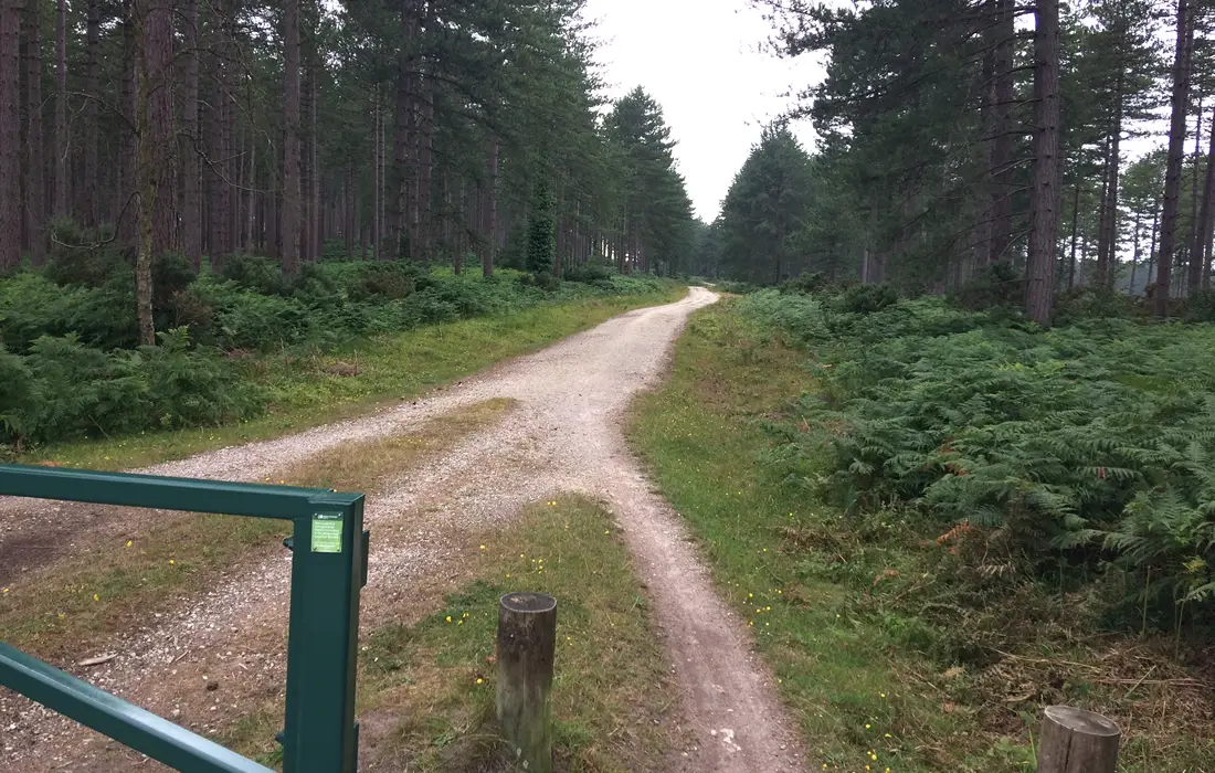
Stay on this road for about 1.3 miles then take a left onto a bridleway signposted for Rempstone Heath. Continue on the main gravel track, bear left at Greenlands Farm and follow the trail around to the right. Carry straight on for about half ½ a mile, then go left at a junction. After a short distance you reach a minor road, bear left here and join the bridleway on the other side of the road.
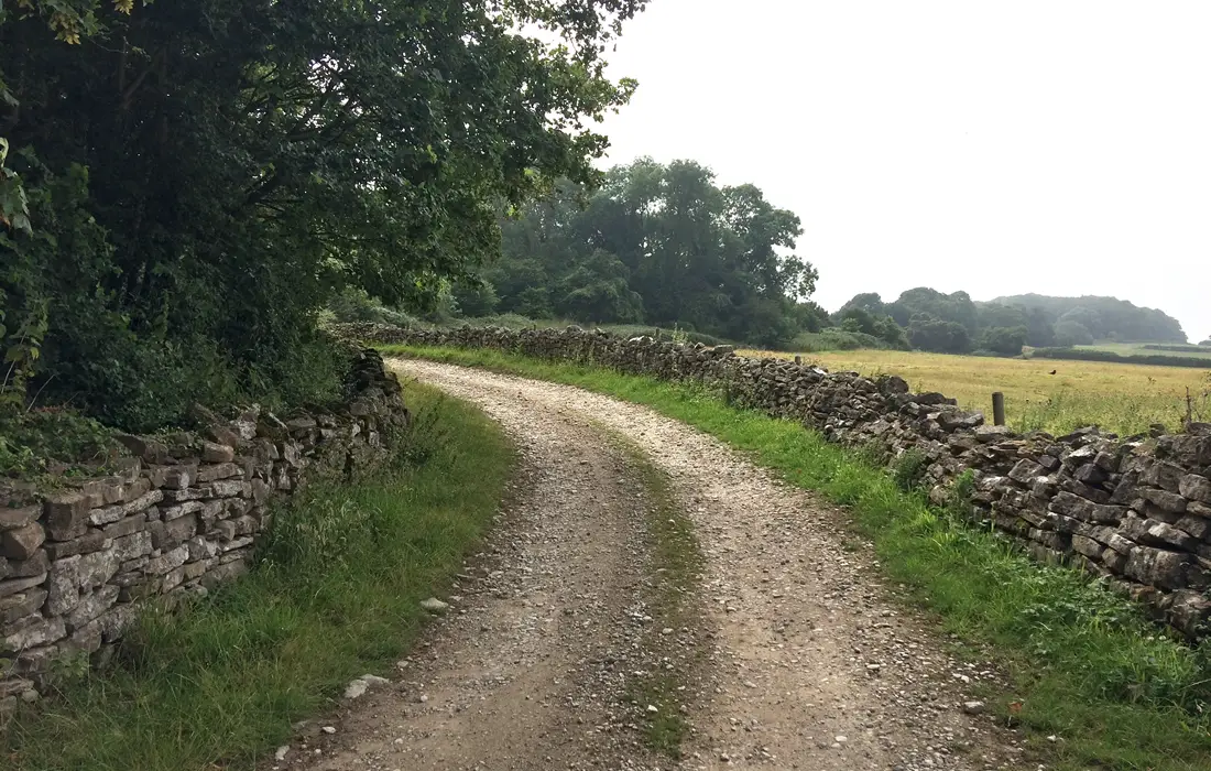
Follow this track for about 1 mile until it merges with a country lane. Continue straight on following the lane until it reaches a junction at a minor road. Turn right here and descend until you reach another junction at a major road, the A351. Go left here and begin the incline into Corfe. When the road bends round to the left, take the road on your right called The Square.
Follow the road around to the left onto West Street, continue to the end of the road until you reach a turning circle. Cross over the cattle grid and carry straight on for about 1 mile. Eventually you come to Willwood House. Follow the bridleway signs passing the pond on your left, until you see a wall running along the back of the farm buildings. Go right here and up the gravelly track.
This is the start of a long, steep climb with the gradient reaching 14.5% in places. About half-way up is a gate which makes a good spot to catch your breath. Go through the gate, but be aware that it’s a private woodland so make sure to stay on the main trail/bridleway. You may be lucky enough to spot some wild deer running through the trees here.
When you emerge onto the road go right and follow it for approximately 1 mile. Eventually you will come to a small car park on your left. Go to the end of the car park, bear left and through the entrance in the wall. Then go immediately right onto the bridleway signposted for Swyre Head.
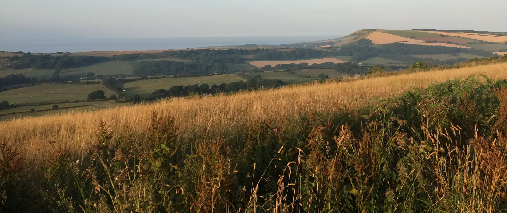
The start of this climb is quite steep and gravelly, the 2nd half of the climb isn’t quite as steep but the grass makes it quite hard going. However, at the top of the climb you are rewarded with stunning panoramic views of the Jurassic Coastline!. Swyre head is the highest point in the Isle of Purbeck and on a clear day you can see the Isle of Wight.
The prominent burial mound here marks the official highest point at 208 metres (682 ft) above sea level. This should not be confused with another hill called Swyre Head in Dorset, found just west of Durdle Door. After you’ve finished taking in the magnificent views go right following the singletrack trail along the edge of the field on your left.
The route begins to descend on grass but then changes to a steep loose, rocky technical descent!. Take care as the bottom of the descent merges straight onto a minor road. Go left here and then almost immediately right. Here you have two choices, take the off-road route via Lulworth Range Walks or continue on road.
Bear in mind that the Range Walks are only open certain months of the year and times of the day, so the off-road route won’t always be available. In this guide we will continue on the road. After just under a mile you should reach a junction. Go left here and continue on road for about another mile. As the road begins to climb take the bridleway on your right.
This is a very steep and loose technical climb with a sharp left-hand turn half-way up. Well done if you manage to ride the whole climb, as the mid-section averages about 20%!. Again at the summit you are rewarded with fantastic panoramic views of the countryside thanks to the Grange Hill viewpoint.
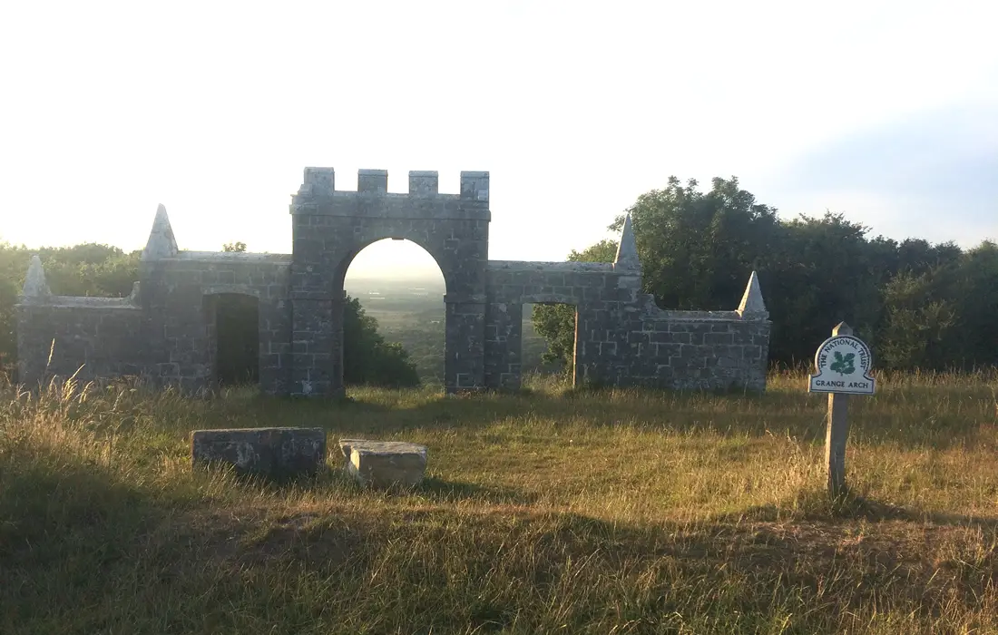
Now return back to the top of the climb and find the narrow singletrack trail which tracks alongside the hedgerow. Go through the gate and continue along the track. After about ½ mile keep an eye out on your left for the Grange Arch. It’s an 18-century folly owned by the National Trust and designated as a Grade II listed building. I particularly liked how the central archway frames the scenery behind it.
Carry on riding along the trail, but after just over ½ from Grange Arch you need to go left through a gate and join the trail on the other side of the hedge. Now enjoy the thrilling, fast descent down to the road. Take a left here and relish the long sweeping downhill by road. After just under a mile take the bridleway on your right signposted for Norden Farm.
This marks the start of a fantastic, singletrack woodland descent featuring some roots, a bit of mud and boardwalk sections. Be aware that the trail does run alongside a busy campsite so be prepared to slow down for oncoming walkers. When you emerge from the trail, bear left and go straight through the campsite heading for the main buildings.
It’s worth noting that Norden Farm Campsite would be a good location to stay for accessing the local trails. They also have Cottage and House accommodation for larger families/parties available. Follow the signs for the exit until you reach the main road. Go right here following the signs for Corfe. Just before entering the town and as the road sweeps round to the right, go left onto Sandy Hill Lane.
After a short, steep road climb take a left onto the bridleway. Your legs may be starting to tire now, so take some comfort in knowing this is your last climb!. However, it’s also the most technical climb of the route – steep and very loose. So it’s probably best to drop into your lowest gear early and try and keep up a smooth cadence.
When you reach the radio mast bear left and continue straight on via the Purbeck Way. The next couple of miles are gradually uphill with more stunning views offered by the Isle of Purbeck. Eventually you will come to another pair of Radio Masts, bear right here and down an exhilarating but quite gnarly descent. Go through the gate and prepare yourself for a nail-biting steep and loose final rocky descent!.
At the bottom go through the gates and right onto the main road and back to the Car Park. Alternatively, if you started in Swanage enjoy the long fast road descent back into the Town centre. I hope you enjoyed this ride as it’s one of my favourite mountain bike/cycling routes in England!.
Pros
- Many spectacular views of the Jurassic coast
- At least 80% of the ride is off-road
- Fantastic mix of rocky ridgetop and woodland descents
- Several challenging but satisfying, steep off-road climbs
- Interesting features including Grange Arch Folly and Old Harry Rocks
Cons
- Depending on fitness and ability some of the climbs may have to be walked
- The trail just before and after Old Harry Rocks can get very busy with walkers during the summer months
Other Mountain Bike Routes on the Isle of Purbeck
Chapman’s Pool, Dorset
