This ride includes one of the best viewpoints in the area and lot’s of quiet rural lanes. There is one long steady climb after about 8.5 miles, but most of the route is relatively flat.
The first 16.4 miles of this ride is the same as my Swynnerton route, so please read that if you would like to know more about the start of the ride.
Route Guide
At the end of Worston Lane you will come to a junction, take a left onto Eccleshall Road. After about ¼ mile take a right onto Newport Road. Then take a left just after the tennis courts signposted towards Seighford.
There is a short incline and then a nice swooping descent along a quiet rural lane. After about ½ mile take a left and head through Seighford. The village is very well kept and has a pub and village green area with benches.
As you leave the village the road swings around to the right and becomes very flat allowing you to cruise along at a good pace. You will stay on this road until you reach a junction and then take a right heading towards Derrington.
You will follow this road for just over a mile before turning right onto Butterbank Lane. This is a nice quiet but rather narrow rural lane so just be aware of any traffic behind or oncoming.
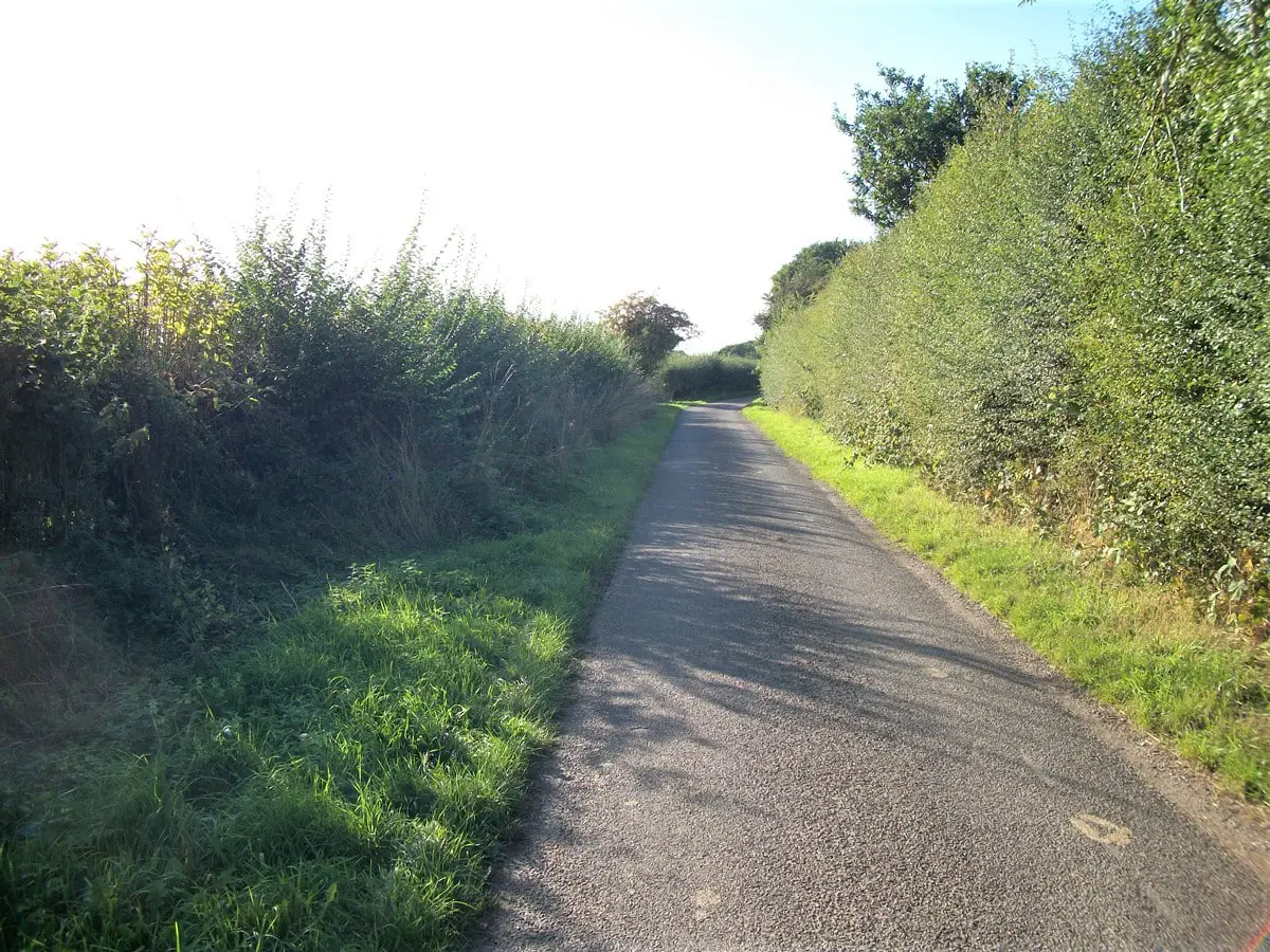
Eventually you come to a junction, take a left and then a right at the crossroads following the signs for Ranton. This road can get quite wet and muddy during spring/autumn/winter so it’s adviseable to fit wider tyres and mudguards if possible.
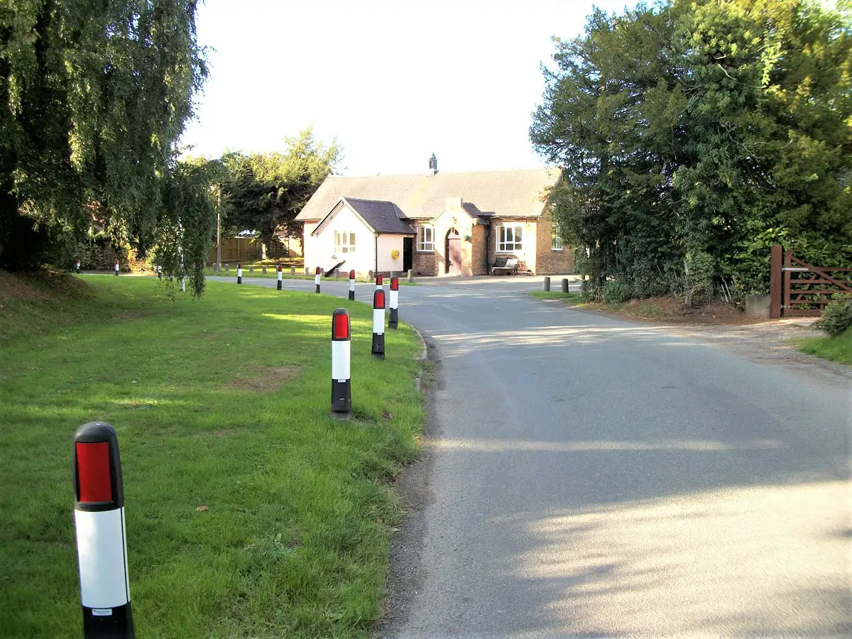
Follow this lane for about a mile until you reach Ranton. This is an immaculately kept Hamlet with a much better road surface than the previous rural lane.
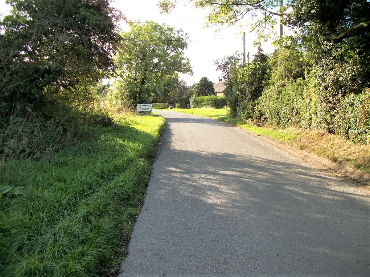
Continue through Ranton following the road until it reaches a junction. Go straight over the main road and head towards Ellenhall. After a about a mile you will reach Ellenhall. The road descends through this well kept village and then climbs out the other side.
Eventually you will come to a fork in the road, bear right and then go straight over the main road. This is a nice fast descent for about a mile down to another junction. Turn right here and then immediately left.
Follow this road until you reach another junction and then cross over the main road. After a few hundred yards on this road turn left onto a newly surfaced road. At the junction turn right onto the main road.
There is a short incline and then a nice long fast descent through Slindon. This can be quite a busy road at certain times so please be vigilante. At the bottom of the descent the road sweeps around to the right and after a few hundred metres goes over a bridge.
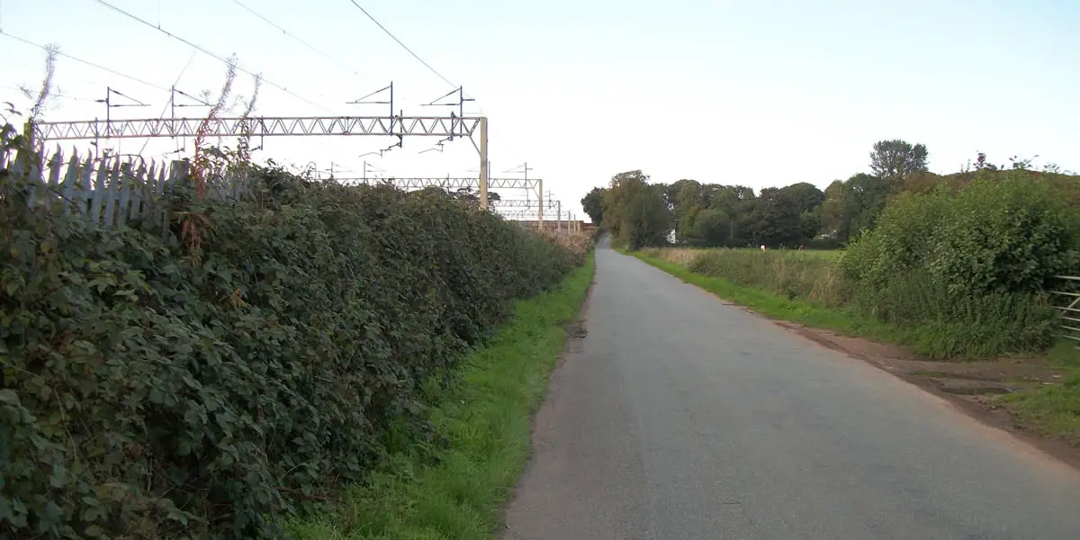
Shortly after going over the bridge take the first road on the left. This is a nice flat road which closely follows the railway line. There are 2 more bridges along this lane, take care when crossing the junctions as visibility for traffic coming from the left is partially obscured.
After approximately a mile you will reach a junction. Turn left here, rejoin the A51 and follow the road until you reach a bridge. At the bridge take the 2nd right onto Bent Lane. Take extra care here as it’s a blind bend.
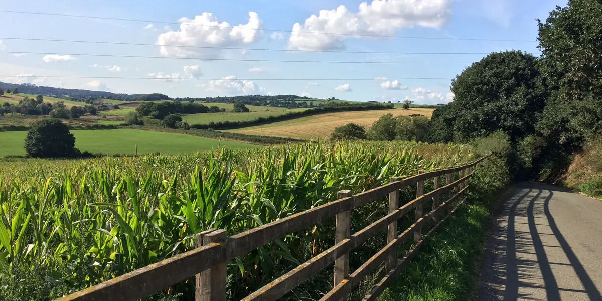
The road then climbs up for a short distance to a farm with excellent views across the countryside on your left at the top. You then just follow this road until you reach another junction, turn right here and follow the main road back into Newcastle-Under-Lyme.
Pros
- Some Excellent Viewpoints
- Mostly quiet roads
- Relatively flat and suitable for most fitness levels
Cons
- Includes some sections on main roads