This is an excellent, intermediate distance Road Cycling route using lot’s of quiet rural lanes, parts of the Cheshire Cycleway and National Cycle Network routes 552 and 45. It’s quite a flat route, so if you’re looking to improve upon your endurance this would be ideal.
Although the route starts in Newcastle-Under-Lyme it passes through a number of towns and villages, so you could join the ride from the nearest point to you.
Route Guide
The first 11.7 miles of the ride follow the same directions as my Wybunbury route so please have a look at that for more details about the start of the ride.
When you reach a junction take a left and follow Audlem Road (A529). This section can be a little busy at times but is generally an enjoyable, winding road with some small undulations.
After approximately 2 miles you will reach the village of Audlem. Take a right here and follow the main road for approximately 1 mile, then take a right on to Coole Lane.
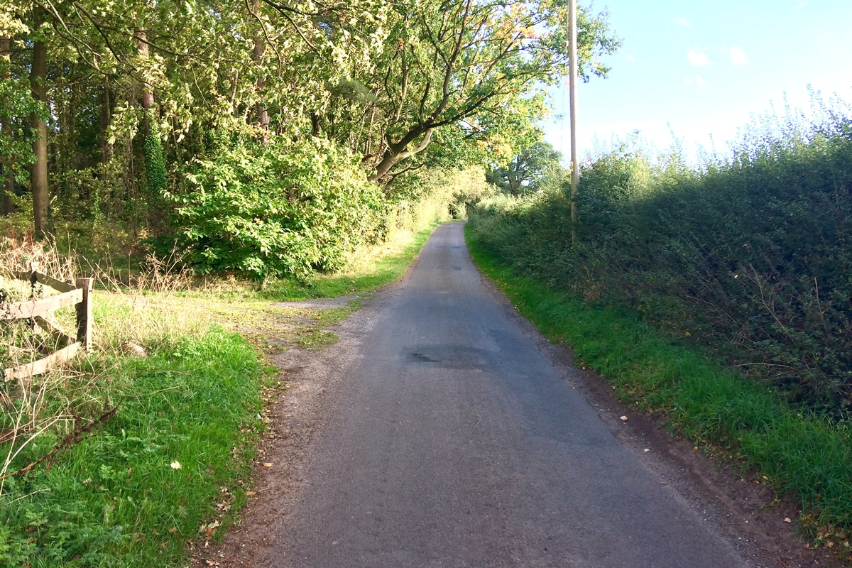
This marks the start of a really enjoyable section of the route using mostly traffic-free rural lanes. After a few hundred yards you will notice a lane off to your left sign-posted for the Cheshire Cycleway. You could take this lane as it does eventually rejoin the loop, but for this route just continue straight on.
This next section forms part of National Cycle Network Route 552. After just over ½ mile take a left opposite a large house and long driveway. These lanes are really quiet, mostly flat and generally in good condition so you can really roll along at a nice speed.
After 2 miles go left on to Slaughterhouse Lane (don’t worry the road is much nicer to ride on than the name would suggest!). Follow this lane until you come to a junction and then go left.
Stay on this main road for about ½ mile then take a right on to a lane sign-posted to Aston and the Cheshire Cycleway. Follow this lane for approximately 1 mile and then go left just as the road bends sharply round to the right.
Eventually you come to a junction, go left here, then after a short distance take a left on to Hollyhurst Road and join the National Cycle Network Route 45. Continue on this road for about 2 miles and then take a left on to Ossmere Lane.
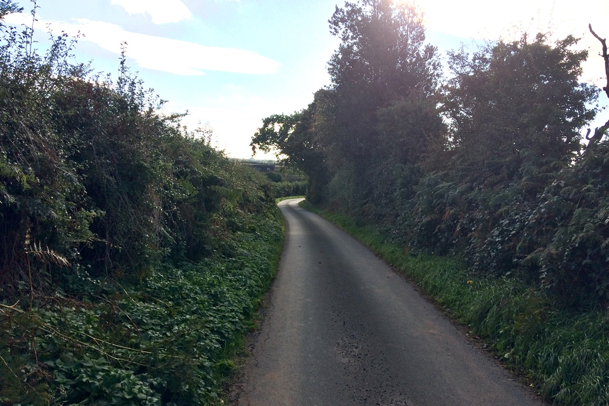
The next 3 miles is really enjoyable, it’s undulating with some short inclines and long, fast, sweeping descents!. As you reach Whitchurch you will start to see houses on your left and Travis Perkins on your right.
Keep going until you see the blue cycle signs for NCN route 45 and take a left here. Then immediately take a right on to Queen’s Road continuing to follow the route 45 signs. Here you can either go right into the Town Centre and refuel at the shops or a cafe or go left and leave Whitchurch avoiding all the traffic.
If you go left here continue until you come to a roundabout, take the 2nd exit, then go left at the next roundabout. The first few miles of this next section is undulating but mostly downhill on nice quiet country lanes.
You will pass through several well kept villages including Ash Magna, Ash Parva, Ightfield and Calverhall. After about 3 miles outside Calverhall take a left down a narrow lane sign-posted towards Moreton Say. Stay on this lovely smooth lane as it winds through the village and then continue until you reach another small village.
When you reach the 2nd village follow the road as it bends round sharply to the left and then the right sign-posted towards Market Drayton. Stay on this road for the next ¾ mile until you reach a small roundabout.
Go left here and then take the 2nd left on to Farcroft Drive. Follow this road until you come to a junction, go right and then left at the mini-roundabout. Then take the 1st exit at the next mini-roundabout on to Prospect Road.
Follow this road until you come to another mini-roundabout, go right taking the 2nd exit. It can be quite busy here so be extra vigilant. Then take a left at the next roundabout on to Maer Lane.You will continue on this road for the next 3 miles following the signs for Norton-In-Hales.
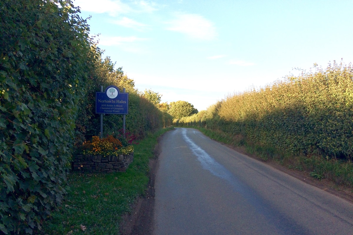
When you eventually reach the village there is a nice small green area and benches which makes for a great pit-stop. You will then continue out of the village along Bearstone Road.
Towards the end of the road it climbs up and sweeps round a tight bend. At the top of the climb you will come to a crossroads. Go straight over the main road and continue on Bearstone Road before eventually joining the A51 just outside Pipe Gate.
Although this is a quite a busy road, the flat gradient allows you to keep up a good pace and so you won’t be on it for very long. Stay on this road for the next 4 miles then go left sign-posted towards Baldwins Gate.
When you reach a junction go right and head through the village and up a short climb. Continue on the main road as it descends down to a busy crossroads. Be extra vigilant here of traffic behind you and any vehicles emerging from the side roads.
The road then kicks up to about 5/6% before gradually easing off as you reach the small roundabout. Go straight over and enjoy a really fast descent for about a mile. It then flattens out for a few hundred yards before steadily climbing again. After the last climb of the day it’s all downhill back to the start in Newcastle.
Hello. I’m moving to Newcastle under lyme before Christmas. Looking forward to riding some of your splendid road routes.
I wondered if you are a member of a club or know of any?
Pleased to hear that you like my routes, I’m not a member of a club myself but there are several you could join. The most well known club would be the Lyme Racing Club: https://www.lymeracingclub.com/