Route Guide
The route starts in Church Stretton which offers plenty of parking in the town centre and also at Carding Mill Valley. I parked in the town at the Easthope Road Car Park which cost just £2 for 4 hours. It’s also conveniently located next to a Co-Op store in case you need to stock up on last-minute supplies. There are public toilets nearby which is handy for changing out of muddy clothes.
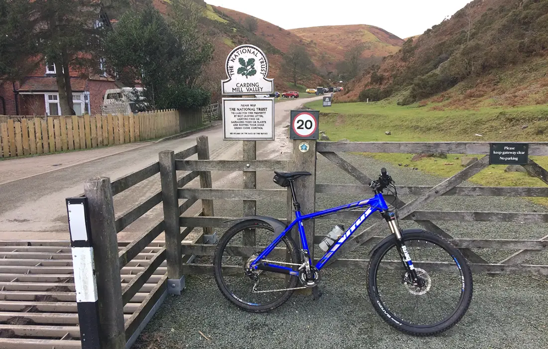
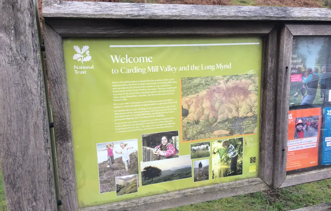
As you leave the car park take a right onto High Street. Then after about a ¼ of a mile go left towards Carding Mill Valley. Continue along this road for a few hundred metres until you reach a cattle grid marking the start of the car park. Carding Mill Valley is part of the Shropshire Area of Outstanding Natural Beauty and is maintained by the National Trust.
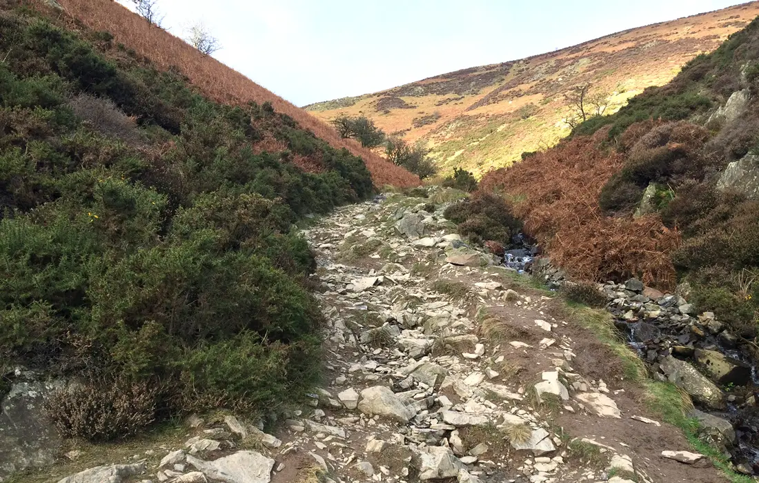
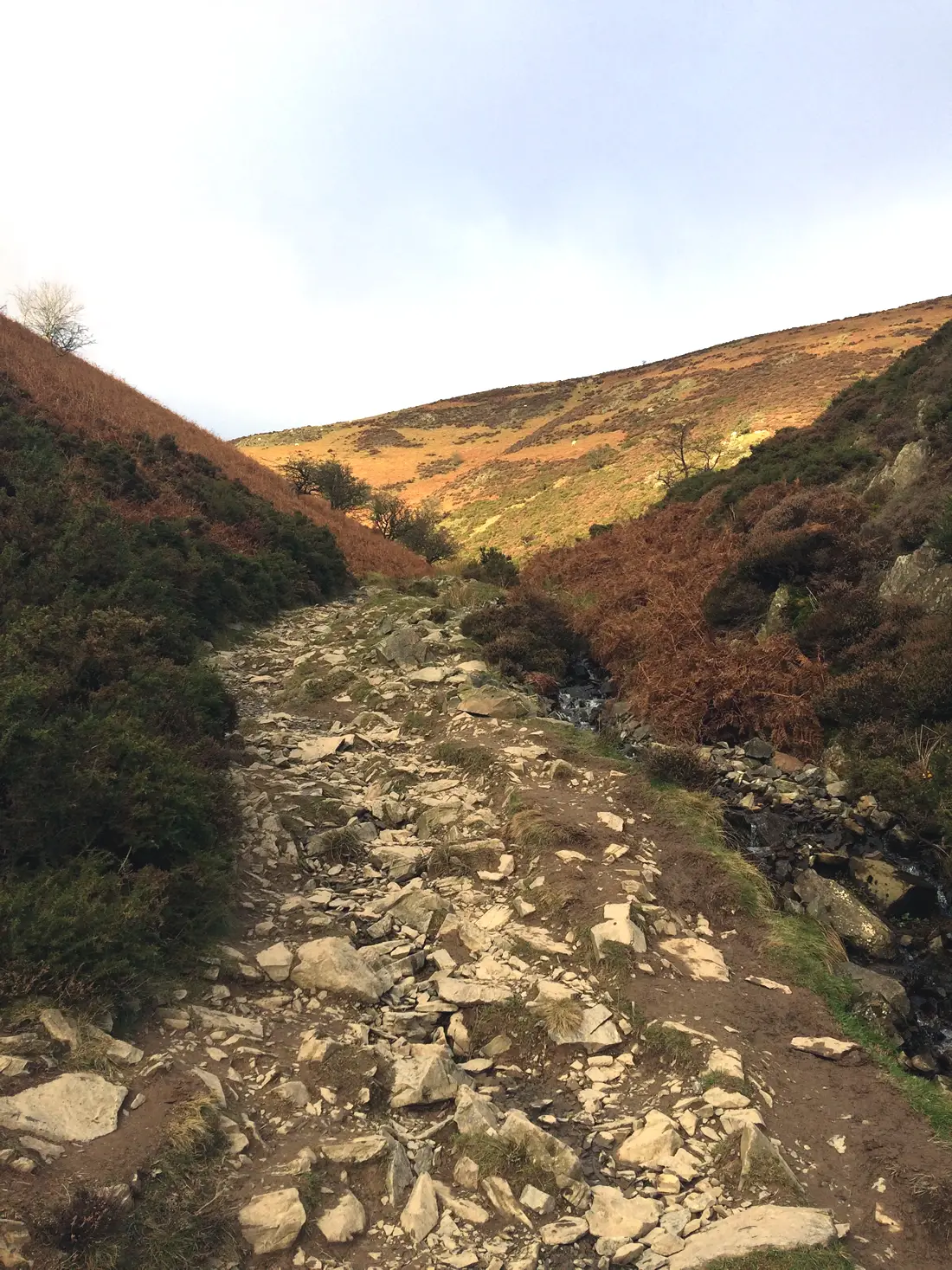
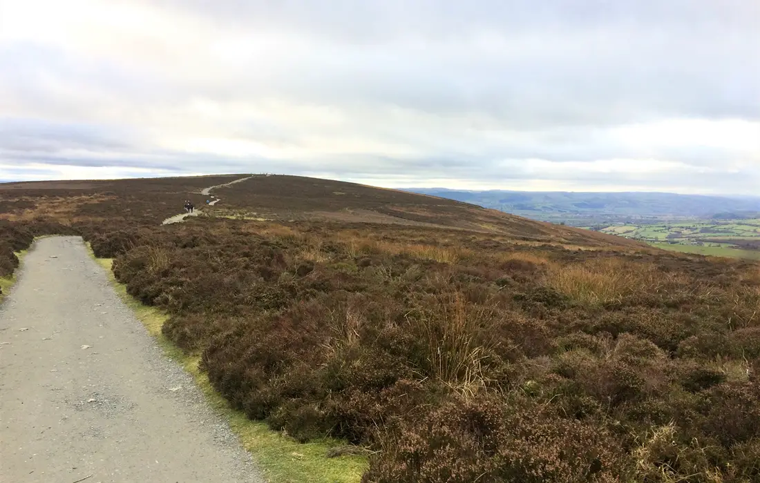
The site has a good quantity of parking spaces as well as a tea room and shop. Continue through the car park until you reach the trail. The start of the trail is stoney but relatively easy to ride on. Although the track is wide enough, the Long Mynd is very popular with walkers, so please bear this in mind and be considerate to others.
Be prepared, as this is a Cat 3 climb lasting approximately 1½ miles and over 800 feet of climbing!. The gradient starts off relatively gentle, but about half-way up you’ll cross a stream and be faced with a steep wall of gnarly rock. The gradient here kicks up to over 20% and combined with the very rough terrain may require some hike-a-bike.
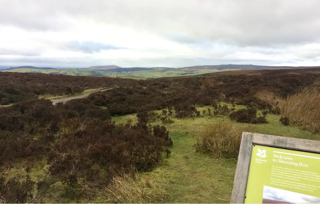
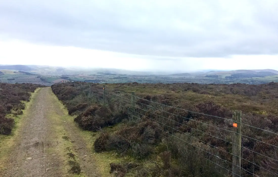
Eventually the gradient begins to ease off and it becomes easier to ride (if your heart, lungs and legs allow it!). At the top you are rewarded with fantastic panoramic views of the surrounding Shropshire Hills. Unfortunately due to the poor winter light and thick cloud it wasn’t quite as picturesque as it could have been.
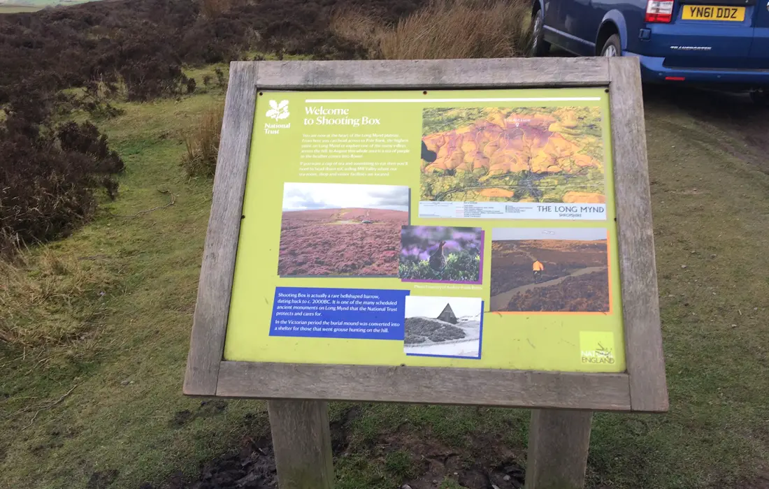
After a few hundred metres you will reach a junction on the trails. Go left here and follow the trail for about ½ a mile until you reach the Shooting Box monument on your right. Shooting Box is an ancient bell-shaped burial mound dating back to 2000BC. I believe it’s name comes from the Victorian times when it was converted into a shelter for grouse hunting.
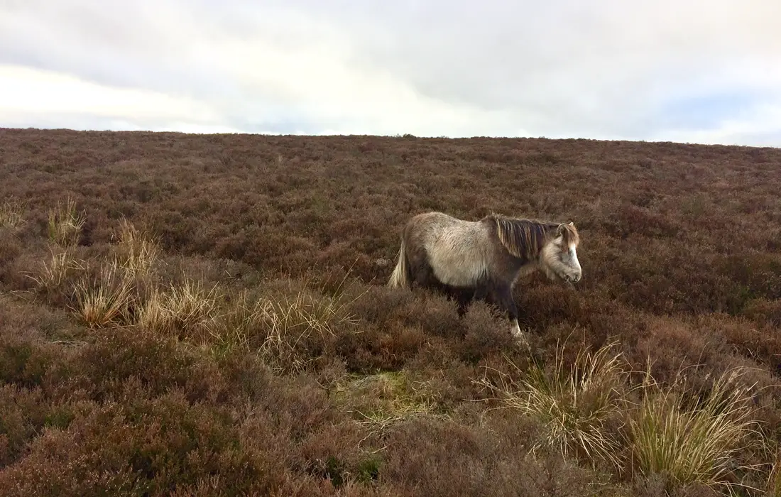
Now continue over the road picking up the trail on the other side. Most of the vegetation here is heather and I believe in summer would be a pleasant carpet of purple. You may also see some Wild ponies. These are Welsh mountain ponies and are believed to be descended from Welsh pit ponies.
At the top of the incline you’ll reach the Pole Bank trig point. This marks the highest point of the Long Mynd, and the ride, at 1693 ft. From Pole Bank enjoy the nice fast but short descent down to the minor road. Go right here and follow the road for about 1½ miles. Just before reaching the gliding club main gate, bear left aiming for the trail marked with a signpost in the ground.
This is the start of the Minton Batch trail and is perhaps the most well-known descent on the Long Mynd. Follow the trail as it bends around to the right and then drops steeply down the hillside. The terrain suddenly changes from soft grass to a series of narrow, rocky gulleys. The faster and smoother you can go the easier it is to flow over the rocky sections. Having a dropper post and good tyres will really help here.
It can be a bit hairy at times particularly in winter as all the rainwater is funnelled into the middle creating a stream. However it’s still a fun, fast and technical singletrack descent but probably best ridden in the summer months. Eventually you will come out onto a T-junction at a minor road. Go right here and begin the next big climb of the route.
This is a Cat 4 climb about 2½ miles long and around 850ft of elevation. The first half of the climb is mostly gentle, with gradients ranging from 4 to 10%. However, parts of the 2nd half of the climb can kick up to 12%. After about ½ a mile you will come to another junction. Go right here and continue for a short distance until you join a fire road.
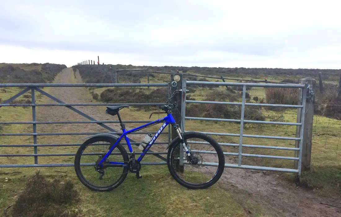
Stay on this trail as it snakes it’s way through the forest. At the top of the climb go through the gate and continue over the ridge. Again you are rewarded with fabulous panoramic views of the Shropshire Area of Outstanding Natural Beauty. Drop down the short fast descent then take the first trail on your right.
Follow the trail as it passes through the gliding club and eventually rejoins the road. Go right onto the road and continue on it for just over 2 miles. Then take the trail on your right marked by a signpost in the ground with a 9 inside an arrow. After a short distance the trail will begin to descend down to a road.
For me this descent was the highlight of the route, it’s fast, flowy and snakes it’s way through the hills. You really can pick up some speed here and the views on the way down are an added bonus. At 1½ miles it’s quite a long descent but due to the high speed it’s all over far too soon!.
Please be careful near the bottom of the trail where it splits into 2. The gradient suddenly becomes a lot steeper and you can find yourself stuck in one of the narrow gulleys. At the bottom of the descent go through the gate and follow the road around to the right. Then bear left until you come out onto a main road. Go left here and follow the road for about 1½ miles until you reach the car park.
I feel this route is a good introduction to the kind of riding available at the Long Mynd. However, there are many other trails on the Mynd itself and in the surrounding area, so it’s well worth revisiting.
Pros
- Some fantastic singletrack descents with technical sections
- Epic panoramic views across the Shropshire AONB
- Most of the route rideable
- 80%+ of the route Off-Road
- Lots of parking and facilities available including toilets, shops and food
Cons
- First climb is very long and some sections may require walking
- Minton Batch gets very wet during the winter months
- Some descents feel quite short given the amount of elevation gained
