Route Guide
I started the route at Etruria on the Trent & Mersey Canal. However, as it’s a circular route you could potentially start the route from anywhere in Stoke-On-Trent. If getting to the route by car there is parking at Westport Lake and Bathpool Park.
We take a left on the canal towpath and then under a tunnel and up a short, steep incline. Continue along for a few hundred yards before taking a right at Etruria Junction. Follow the path around to the right and onto the Caldon Canal.
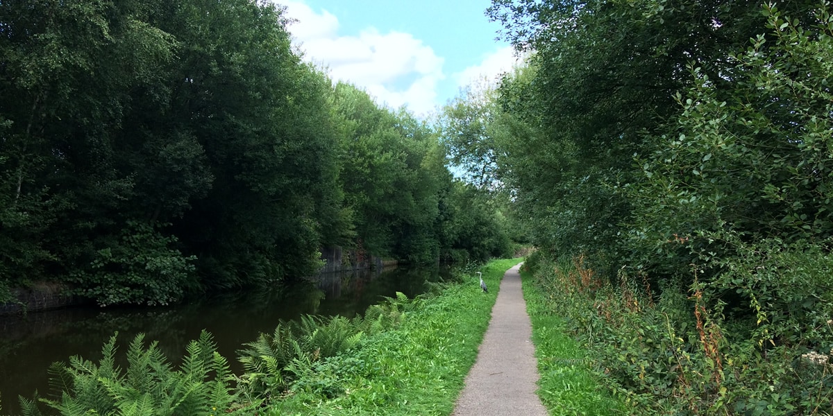
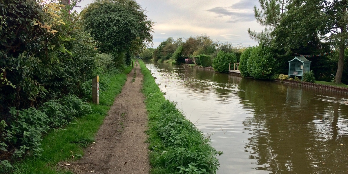
The surface is generally pretty smooth and wide enough, however it does begin to get quite narrow in places after a mile or so. There are some pleasant views of Hanley Park and also quite a bit of bird life on the water and sides of the canal.
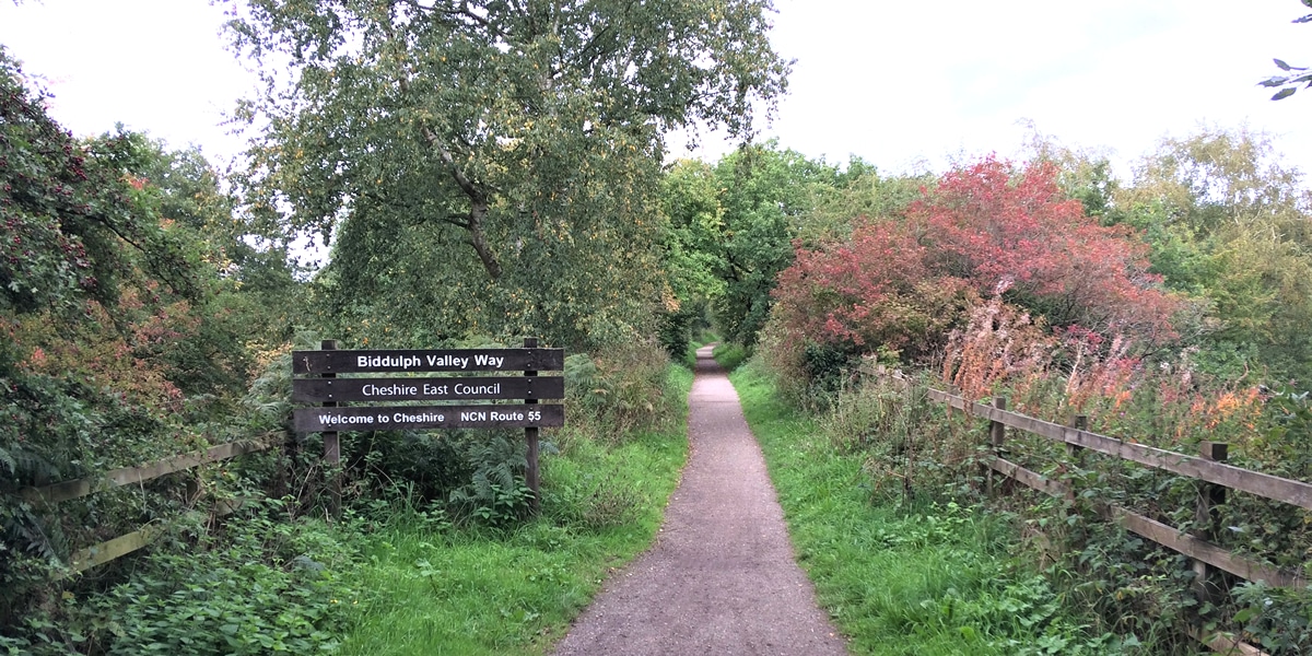
After about 3½ miles take a right at the bridge, leave the towpath and join the road above the canal. Then take a right onto the National Cycle Network Route 55 which marks the start of the Biddulph Valley Way.
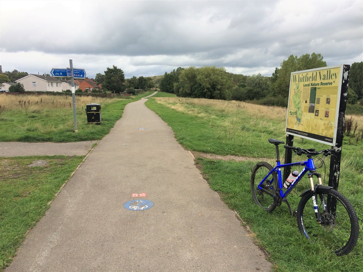
This dedicate cycle lane is smooth, wide and well sign-posted. You continue on this path following the signs and Route 55 markings on the floor. After a short distance you come across a large pond at Holden Lane Pools with nice views across the water.
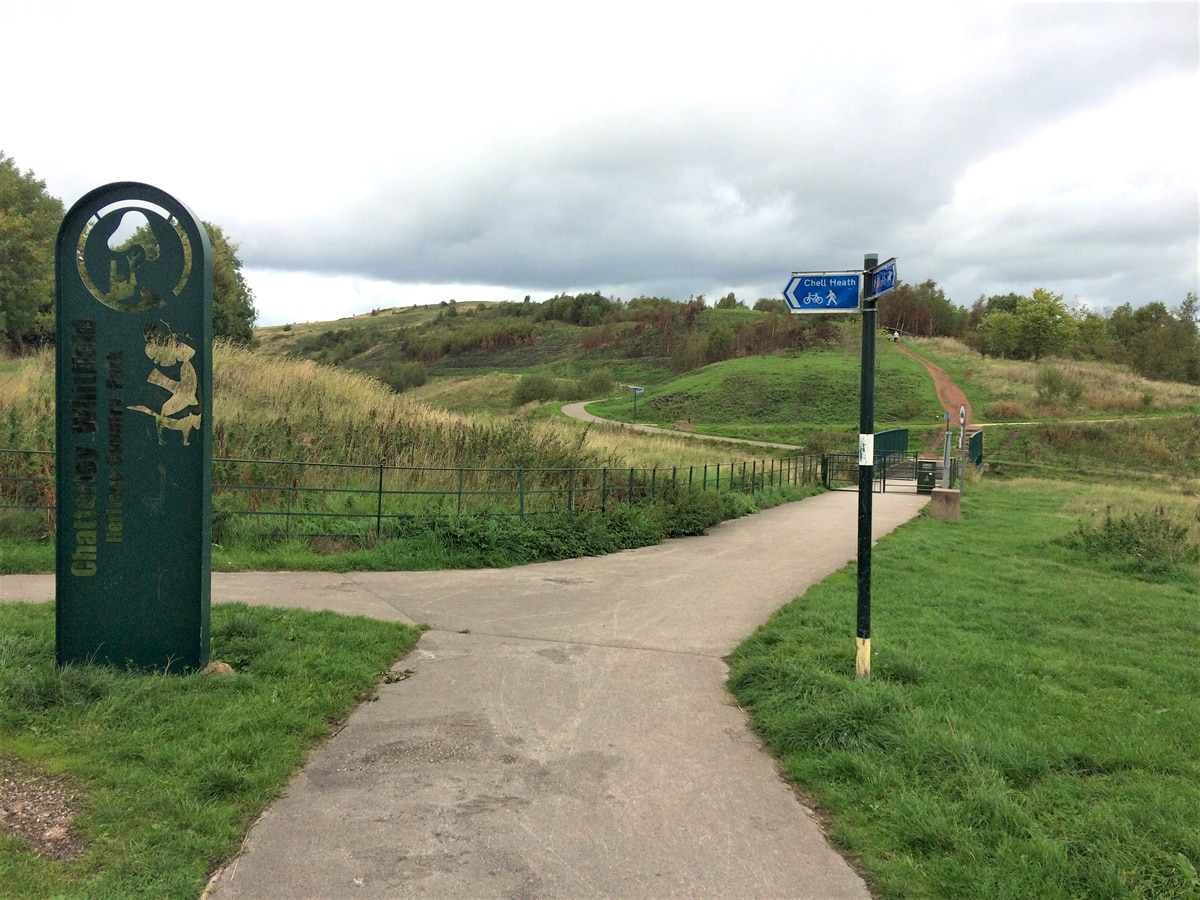
After about ½ mile you reach the lovely Whitfield Valley Nature Reserve. It is one of the largest reserves in the area covering 225 acres. Thanks to the diversity of habitats including areas of grassland, hay meadow and ponds there is a wide variety of wildlife.
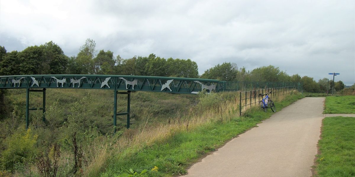
Eventually you will come to a bridge which has been nicely decorated with some metal wildlife sculptures. Go across the bridge and then take a right continuing on route 55. Enjoy the views across the Country Park before coming to another bridge.
After crossing the bridge the surface of the cycle lane changes to a gravel track. After a lot of recent rainfall this next stretch of the trail can become quite muddy and so you may want to fit mudguards and/or better tyres during these periods.
The gradient for the next 2 miles has a slight incline so you will need to keep pedalling to make progress. Eventually you will come to the Cheshire East section of the Biddulph Valley Way which passes through Whitemoor Nature Reserve.
Shortly after this sign look out for some steps on your left. Unless you are feeling confident and/or have excellent bike handling skills it would be best to dismount the bike and walk down the steps as they are rather large and steep.
At the bottom of the steps go left and follow the road towards Congleton. At the crossroads turn right and then after about ½ mile turn left onto Cross Lane. Then immediately turn right passing the Railway Inn. Follow the road round to the right until you come to some steps. Go down the steps and onto the Macclesfield Canal towpath.
Turn right and continue on the towpath until you reach a bridge. Take the steep path up and over the bridge to the other side of the canal and then continue on this path. Parts of this towpath can be quite rough and muddy so please bear this in mind before setting out.
The route continues on this towpath for the next 6½ miles and includes several more bridges you will need to cross. Some of the paths over the bridges are very steep, cobbled and bend sharply so provide a little bit of a technical challenge.
Eventually you come to the end of the towpath, take the steep path after the small building on the right and follow it round to the left and out of the woodland. Turn right on the road and then take the first left following the signs for National Cycle Network route 555.
Follow Boathorse Road for about ½ mile and then bear right following the blue route 555 signs. You should now be able to see the sign and car park for Bathpool Park. Enter the park keeping to the right-hand side of the car park.
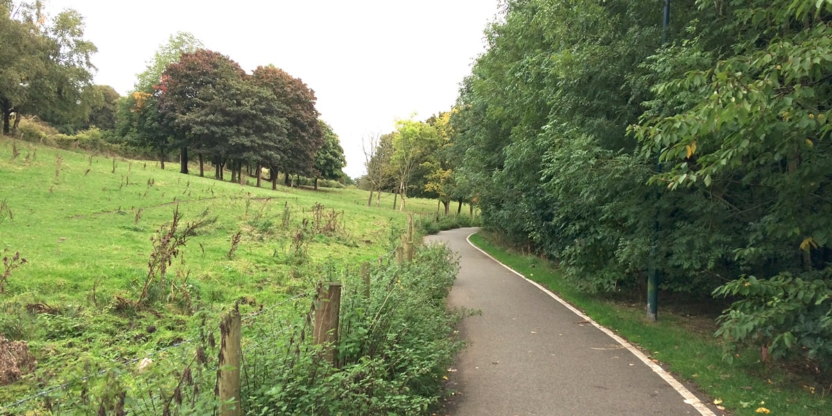
Enjoy the views across the water whilst rolling along this nice smooth, wide cycle lane. The path closely follows the edge of the pool and the gradient begins to descend allowing you to pick up some speed.
When you reach the exit of the park turn left onto the shared cycle/footway. Stay on this path for about ¼ mile then cross over the road just before the small roundabout. As you come around the bend look out for the blue route 555 signs on the right-hand side of the path.
Take this narrow path and enjoy the nice fast descent down to the Trent & Mersey Canal. Cross over the bridge and take a left onto the towpath. The surface of this path is generally good and so can be ridden all year round.
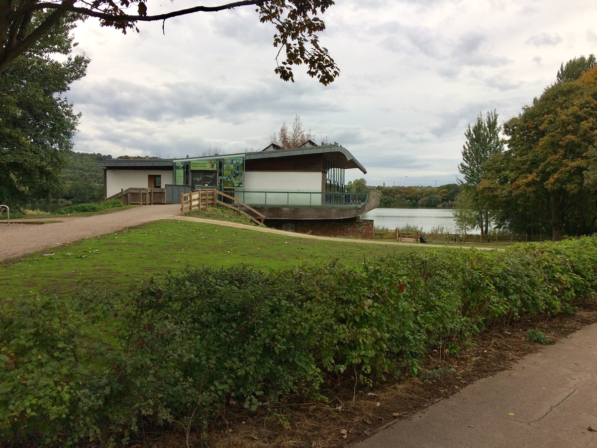
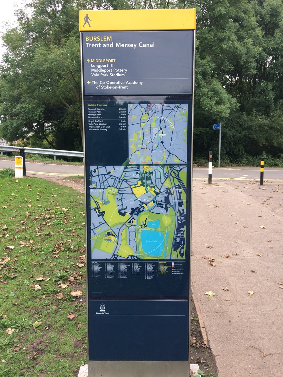
After about ¼ mile you will reach Westport Lake. It is Stoke-On-Trent’s largest body of water and supports a wide variety of bird life. There is also a visitor centre with a cafe, toilets and panoramic views across the water. Recently they have also erected some nice, useful signs that show where you are within the local network of cycle lanes and what destinations are reachable in a 10 minute ride.
To complete the route cross over the road picking up the towpath again. After 2 miles you will have to cross a bridge over to the other side of the canal. You then continue on this side for about ¼ mile before taking a sharp left just before the Toby Carvery and cross back over to the other side. Stay on the towpath for another ½ mile which brings you back to the start/finish point.
Pros
- About 90%+ of the route is Off-Road
- Lot’s of wildlife and some interesting features at Whitfield Valley Nature Reserve
- Well surfaced trails allow it to be ridden mostly all-year round
- Mostly flat, so will suit beginner/intermediate riders
- Biddulph Valley Way is well sign-posted
Cons
- Canal paths can get quite busy with walkers at weekends
- Macclesfield Canal path gets very narrow in parts and some sections only suitable for mountain bikes
- More experienced riders may find the flat gradient a little mundane
- No technical trail features or fast descents
Other Mountain Bike & Off-Road Cycling Routes in Staffordshire
Barlaston Downs
Cannock Chase Trails
Silverdale Country Park
Hanchurch Woods
