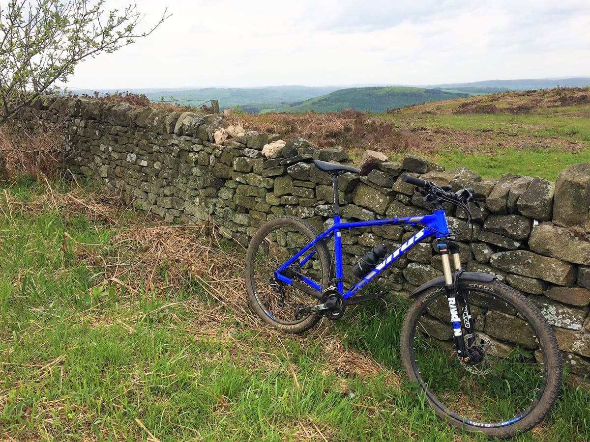
This is known as the 5 Dales route because it includes 5 big climbs out of valleys or ‘Dales’ as they are called in the Peak District. It is a challenging Mountain Biking route with some technical climbs and quite rocky descents so is not recommended for beginners.
This route was taken from the excellent and highly recommended book – White Peak Mountain Biking: The Pure Trails (click to check current price on Amazon) If you would like to download this route please consider purchasing the digital version (Kindle device not required to view it) as it provides links to the GPX files and zoomable Ordnance Survey maps.
Route Guide
At the start of the route there is free parking next to a bridge in the pretty village of Darley Dale. As we begin the ride and steadily climb on road out of the village, the route veers off-road sharply left onto a track. It’s not signposted on the road yet, I believe it’s still in the process of being re-classified as a Bridleway by Derbyshire County Council.
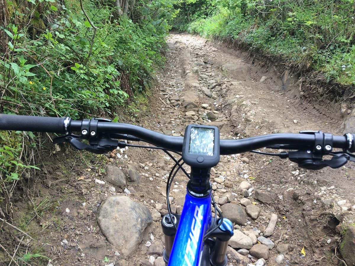
This trail becomes the hardest climb of the whole route including a very loose, rocky section. However, once you’ve negotiated this technical part, the rest of the climb is much more rideable and becomes an enjoyable climb with lovely views of the whole valley.
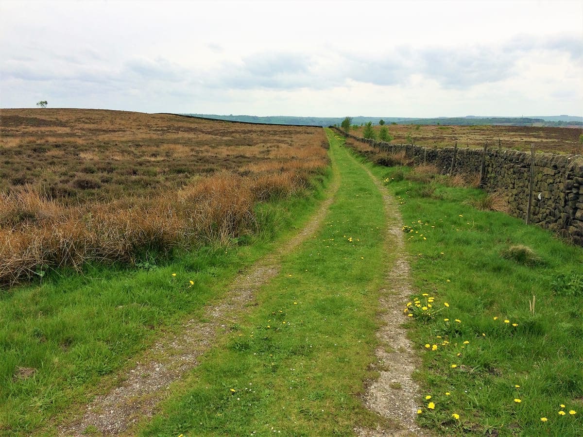
At the top of the climb we join Chesterfield Rd and continue on this for just over a mile. We then leave the road and head onto a picturesque grassy bridleway which descends through a small area of woodland. After reaching the bottom of the descent the route continues on road for a short time before joining a bridleway which runs through Rowsley Wood.
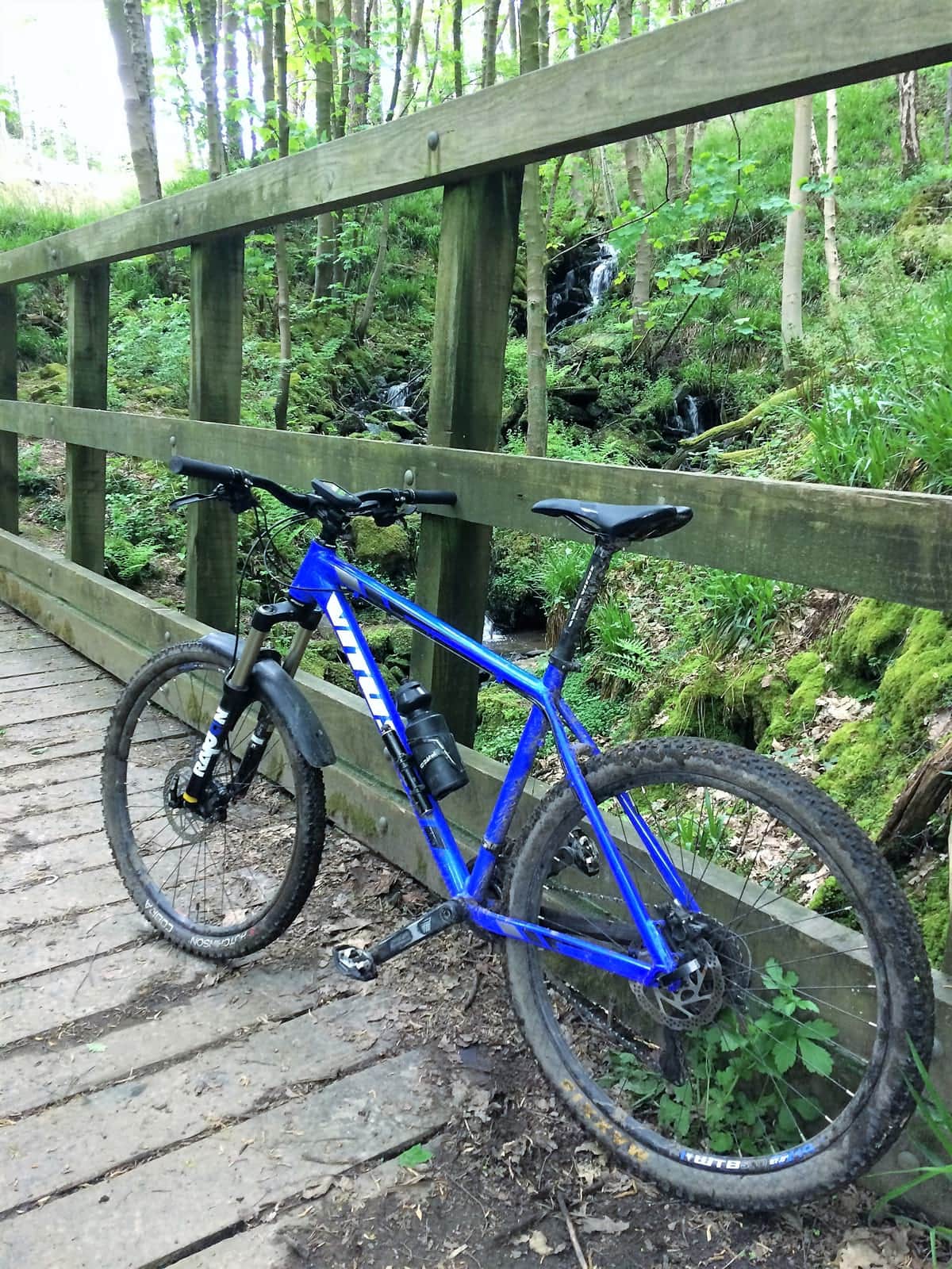
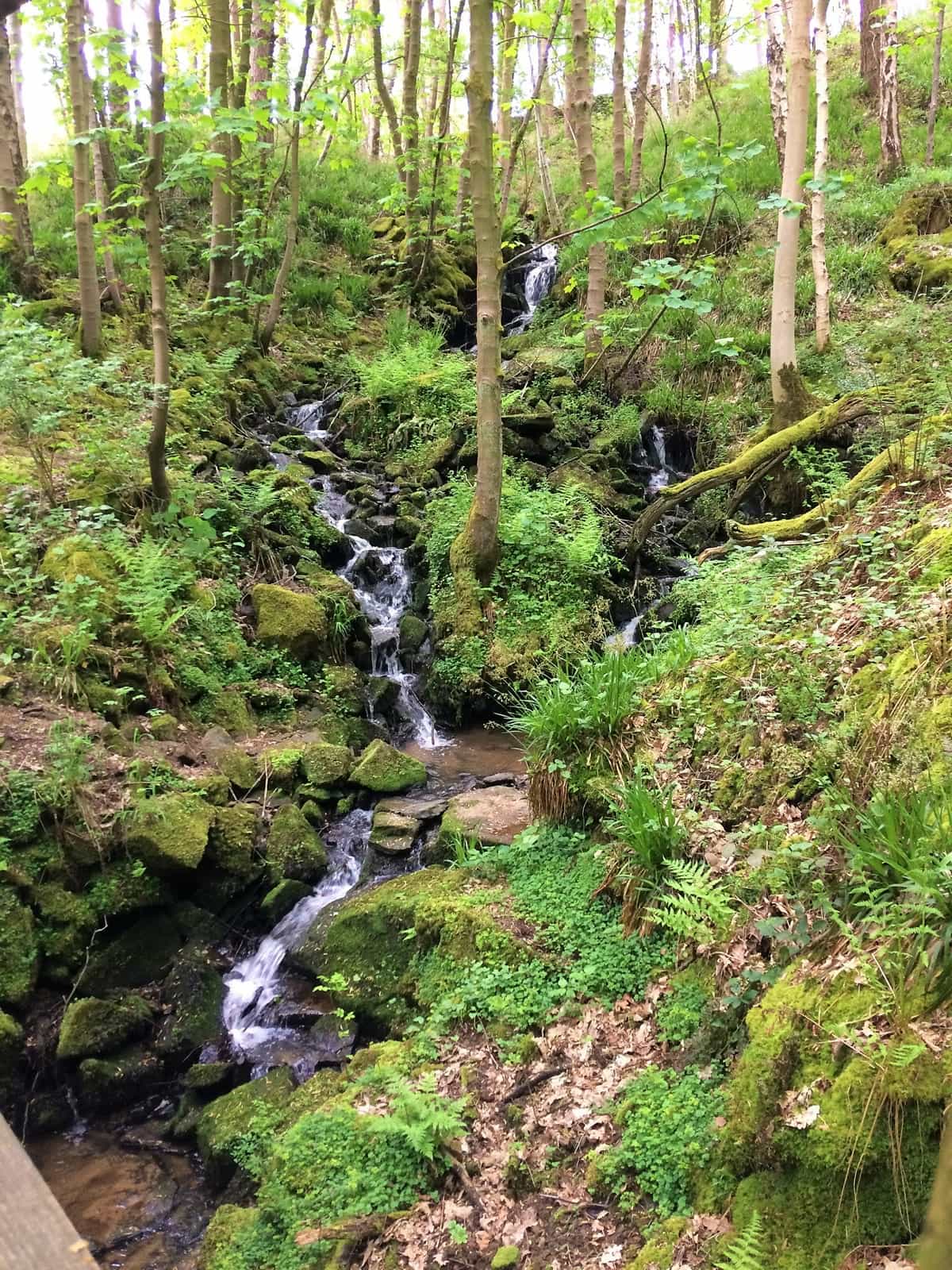
This was my favourite part of the route as it consisted of pretty, bluebell lined, fast flowing single-track with narrow streams flowing across it. At the end of the trail is a beautiful little waterfall with a bridge crossing the stream in front of it. The trail then exits the woodland and continues climbing for another mile or so before joining a minor road. We continue to climb on the road until we reach the top of the valley.
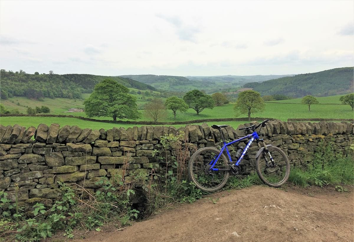
All that climbing is rewarded with a long, fast and loose descent with cracking views across the valley. Some care must be taken as there are some quite sandy sections and also deep gullies that have been cut into the trail by rainwater.
We then join a well-surfaced bridleway and start the climb to the top of the next valley. About half-way up the climb we jump onto another bridleway that forms part of the South Peak Loop. The last section of the climb traverses across a field and is quite steep and challenging. Again rewarded with fantastic, panoramic views across the valley as you crest the peak. The trail then continues as single-track through some pretty woodland, ending with a long fast descent.
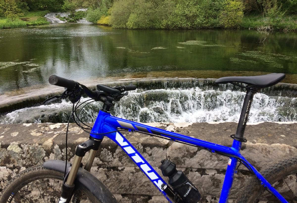
After a short time on the road we join a another bridleway that climbs through some farmer’s fields. This is quite hard going as the longer grass creates quite a bit of resistance. The trail then goes into some pretty woodland where there is a steep descent with some hair-pin bends, this was fun but quite technical. At the bottom of the descent we cross the River Lathkill where there is another small, but picturesque waterfall.
The route then heads along a gravel track and through a small camping site. The bridleway we want is hidden in the bottom right hand corner of the field and is NOT signposted. This trail is difficult to follow as parts of it are not clearly visible.
Eventually we reach a road and start the final long climb of the day.
After reaching the top of the climb, there is a very satisfying 1.5 mile road descent back to the car park. In conclusion this has to be one of the best Mountain Biking routes in the Peak District.
This Mountain Bike route was taken from the book – White Peak Mountain Biking: The Pure Trails (click to check current price on Amazon) If you would like to download this route please consider purchasing the digital version (Kindle device not required to view it) as it provides links to the GPX files and zoomable Ordnance Survey maps.